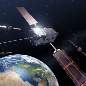
Europe’s third Galileo satellite transmitted its first test navigation signals back to Earth earlier this month. The two Galileo satellites launched last October have reached their final orbital position and are in the midst of testing.
The third Galileo Flight Model, known as FM3, transmitted its first test navigation signal in the E1 band on 1 December, the band being used for Galileo’s freely available Open Service interoperable with GPS.
Then, on the morning of 4 December, the satellite broadcast signals across all three Galileo bands – E1, E5 and E6.
Galileo is designed to provide highly accurate timing and navigation services to users around the world. So the testing is being carried out in addition to the standard satellite commissioning to confirm that the critical navigation payloads have not been degraded by the violence of launch.
While the satellites are run from Galileo’s Oberpfaffenhofen Control Centre near Munich in Germany, and their navigation payloads are overseen from Galileo’s Mission Control Centre in Fucino, Italy, a separate site is used for the in-orbit testing.
Located in the heart of Belgium’s Ardennes forest, Redu is specially equipped for Galileo testing, with a 15 m-diameter S-band antenna to upload commands and receive telemetry from the satellite, and a 20 m-diameter L-band dish to monitor the shape and quality of navigation signals at high resolution.
“This marked the very first time that a Galileo payload was activated directly from ESA’s Redu centre in Belgium,” explained Marco Falcone, overseeing the campaign effort as Galileo’s System Manager.


