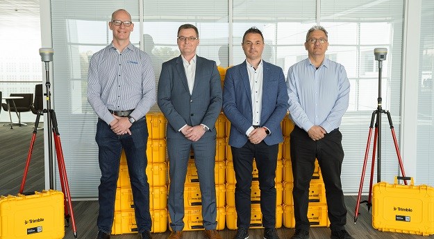
The Ordnance Survey will use the Trimble R980 GNSS receivers to upgrade its...
United Kingdom
-
The Ordnance Survey and the Digital Task Force for Planning have inked a...
2024-09-04
Bluesky will capture photography to as little as 5cm resolution as well as...2024-08-06
Britain’s national mapping body says it wants to use AI effectively but responsibly...2024-07-23
ADVERTISEMENTFenwick, Managing Director of Spatial Dimensions, has been elected the new president of...2024-05-07
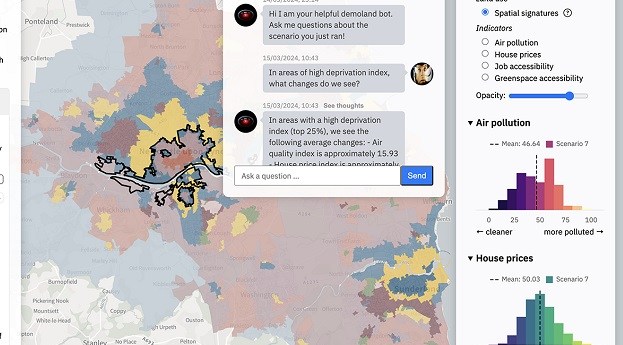
The Geospatial Commission and The Alan Turing Institute want to see if AI...2024-04-29
Data from the UK’s National LiDAR Programme has shown that not all Roman...2023-10-03
Nick Bolton is to become head of the Ordnance Survey, while Angus Essenhigh...2023-07-19
The Commission has updated its 2020 strategy, aiming to place the UK at...2023-06-19
A new Geospatial Commission report says that efficient land use is fundamentally a...2023-06-06
More collaboration in collecting and sharing marine data will help tackle climate change,...2023-05-23
The pilot will see public sector bodies able to access and test high-resolution...2023-05-16
The Model for Underground Data Definition and Integration has been developed by OGC...2023-03-04
For the first time in recorded history, magnetic, true and grid north will...2022-11-08
Newsletter
Sign up now to stay up to date about all the news from Spatial Source. You will get a newsletter every week with the latest news.
© 2025 Spatial Source. All Rights Reserved.
Powered by WordPress. Designed by


