This week: Geospatial jobs, oceanic and polar mapping, GNSS launches, webinars, and geography...
flood mapping
-
For the first time, rainfall flood maps covering different parts of the country...
2025-11-06
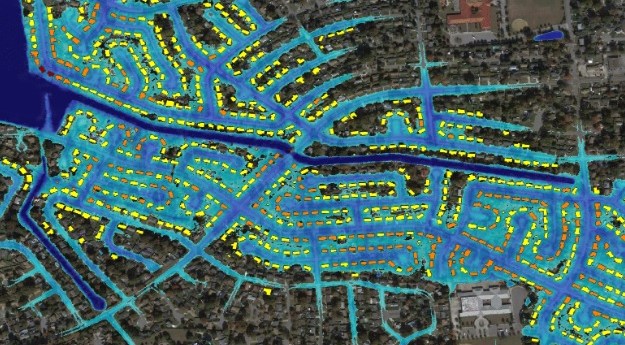
NOAA’s Flood Inundation Mapping tool provides near-real-time, street-level visualisations of flood waters.2025-11-03
SmartSAT CRC, industry and academia are using satellite radar and optical data to...2025-05-06
ADVERTISEMENTThe city will use FloodMapp software for disaster preparedness, response and recovery actions.2024-04-10
Floodbase will provide a national, near real-time flood intelligence system for FEMA in...2023-04-03
The company will provide flood inundation and analytics data, including evaluation of likely...2023-03-13
SEED has partnered with the NSW Flood Data Portal to connect more than...2022-10-24
The funding will enable the climate technology company to scale up and expand...2022-02-14
Heart, rock, and cheese maps; self-driving in public; UAVs for archaeology; radar floods;...2015-02-17
Gold map; desert blowholes; flood photos; evacuate!; Star Wars map; SLAM; smelly city;...2014-12-02
Newsletter
Sign up now to stay up to date about all the news from Spatial Source. You will get a newsletter every week with the latest news.
© 2026 Spatial Source. All Rights Reserved.
Powered by WordPress. Designed by


