

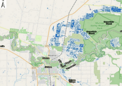
A project involving Australia’s SmartSAT CRC, industry and academia is using satellite synthetic aperture radar and optical imagery to quantify major flooding events.
Floods are common occurrences in Australia, but recent years have seen particularly large flooding events that have devastated many parts of the country, including prime farming land.
The project, known as P3.26 Quantifying the Past and Current Major Australian Floods with SAR and Other Satellites, is using data primarily from the NovaSAR and Sentinel satellite missions to provide time-critical analysis of floods for the benefit of responding authorities.
According to the SmartSAT CRC, the project seeks to “transform the way Australia manages future weather events and provide governments with the tools they need to respond quickly and efficiently in times of crisis”.
Using the data, the researchers aim to help produce “accurate, near-real-time data to map flood extents and assess water volumes for effective resource management”.
The team — which comprises participants from the University of New South Wales (UNSW) and Nova Systems, with support from the New South Wales Department of Climate Change, Energy, the Environment and Water (DCCEEW) — is being led by Linlin Ge, a professor of remote sensing and earth observation in the School of Civil and Environmental Engineering at UNSW.
DCCEEW has provided data to address gaps and problems with existing systems that monitor flood harvesting of inland water storage sites.
The team, which has been working in this field of research since 2009, has developed 2D and 3D data products for flood mapping and floodplain water harvesting respectively.
Specifically, a software tool has been deployed and tested on DCCEEW’s infrastructure, and it is expected to become an integral part of its systems for processing 2D flood data.
There also are plans to incorporate SAR altimetry data to build the 3D capability.
“This project is an excellent example of how SmartSat’s collaborative research model can bring together the three pillars of end-users, industry, and academic researchers to work together and produce high-value outputs for the nation’s economy and environment,” said SmartSat Research Program Manager, Andrew Barton.
“The impact of this project goes beyond Australia, with the potential to position our Earth Observation sector as a global leader in precision flood monitoring technologies.”


