The update covers 48 areas across NSW and comprises point clouds and digital...
DEM
-
Fathom says the novel use of AI gives the most accurate publicly available...
2025-02-12
The new 3D function has been formed through overlaying high-resolution images over elevation...2024-09-18
The new DEM covers 60% of Victoria and provides a 100x improvement in...2024-07-23
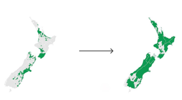
ADVERTISEMENTThe release of 3D mapping data for Waikato and Southland means more than...2023-08-15
A new agreement will provide continued public access to historical and new digital...2023-07-31
With a 50-year legacy, Digital Terrain Elevation Data inches towards its next goal:...2023-03-27
Spatial Source’s fortnightly round-up of the best in cartography, spatial analysis and creative...2020-12-01
Spatial Source’s fortnightly round-up of the best in cartography, spatial analysis and creative...2020-11-17
NTT Data and RESTEC have doubled the resolution of their core data product,...2019-07-17
New slga package gives users access to fine resolution national landscape and soil...2019-03-27
A rapid solution with more than 2 billion sites evaluated so far.2017-10-23
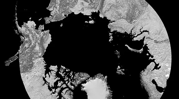
Airbus’ pole-to-pole Digital Elevation Model now covers more than 50% of Earth’s landmass.2015-03-24
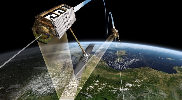
Airbus Defense and Space has commercially launched WorldDEM – its highest accuracy DEM...2014-04-22
JAXA will compile a global digital 3D map that it claims will have...2014-03-04
Newsletter
Sign up now to stay up to date about all the news from Spatial Source. You will get a newsletter every week with the latest news.
© 2026 Spatial Source. All Rights Reserved.
Powered by WordPress. Designed by


