A new desktop mapping tool aims to assist land managers protect estuarine areas...
coastline
-
Woolpert NZ and NV5 Geospatial will conduct 3D LiDAR mapping of the North...
2025-01-28
Up to 40% of New Zealand’s coast will be LiDAR mapped to help...2024-09-16
Improved foreshore and seabed data is now available for Gascoyne and WA south...2024-06-24
ADVERTISEMENTA case study of mangroves, coastal protection and accounting for Australia’s vast ocean...2023-09-18
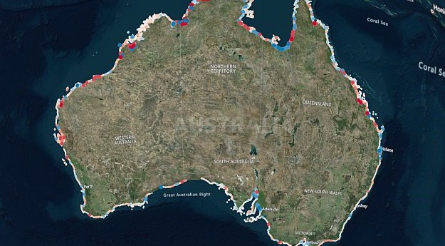
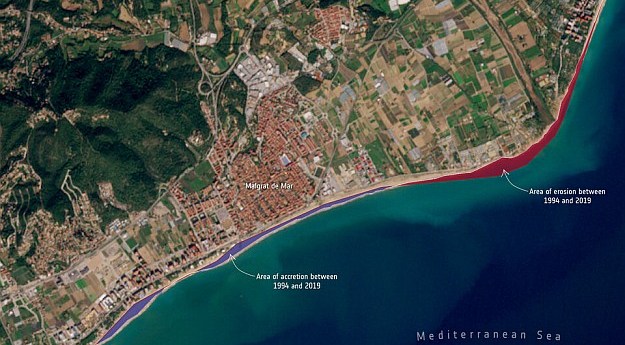
DEA Coastlines combines satellite data and tidal modelling to produce an annual map...2023-08-25
Satellite imagery shows coastlines across the Pacific may respond differently to El Niño...2023-02-14
The SeaBed NSW map viewer captures the state’s entire coastline at depths of...2022-06-08
Geovation has launched a challenge find a sustainable solution to tackle diffuse coastal...2022-01-25
Geoscience Australia’s coastlines tool combines satellite imagery and tidal models to give 10m...2021-04-15
Almost 3,000 km of the coastline of four countries has been mapped in...2021-04-06
Newsletter
Sign up now to stay up to date about all the news from Spatial Source. You will get a newsletter every week with the latest news.
© 2026 Spatial Source. All Rights Reserved.
Powered by WordPress. Designed by


