Data61 and NSW Spatial Services have launched a 4D digital twin for Western...
BIM
-
Bentley Systems is now accepting nominations for the 2020 Year in Infrastructure awards.
2020-02-26
FrontierSI is calling for project proposals as it seeks to co-invest in digital...2020-02-25
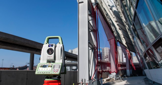
The firm claims its new Nova TS60 is the most accurate total station...2020-02-20
ADVERTISEMENTTrimble has acquired the creator of utility and infrastructure management suite Cityworks.2019-10-09
Despite the growing dynamism of surveying and geospatial disciplines, economic forecasts warn of...2019-10-02
Trimble’s SiteVision AR system and X7 laser scanning system lob ahead of INTERGEO.2019-09-17
Built around the theme of ‘Blurring Our Digital Boundaries’, the event promises a...2019-09-16
November’s Ozri events welcome a solid lineup to celebrate 50 years since Esri’s...2019-09-11
Excellence in infrastructure and public works has been recognised at the 2019 IPWEA...2019-09-04
SEASC 2019 lays the foundation for a new mode of engagement with the...2019-08-28
Four Australian infrastructure projects have made the cut for Bentley’s YII 2019.2019-08-14
The OGC opens a pilot 3D IoT platform for smart cities in collaboration...2019-08-07
Leica launches its new generation of manual total stations, the iCON iCB50 and...2019-07-24
Hexagon acquires Melown Technologies’ extensive portfolio of 3D modelling products.2019-07-10
The packed August/September issue of Position is just around the corner.2019-07-10
SimActive launches a new processing tool focused on UAV-sourced imagery.2019-06-26
Leica’s Cyclone 3DR offering harnesses 3DReshaper’s processing capabilities.2019-06-19
French UAV-borne LiDAR specialists launch in house point cloud processing suite.2019-06-12
Newsletter
Sign up now to stay up to date about all the news from Spatial Source. You will get a newsletter every week with the latest news.
© 2025 Spatial Source. All Rights Reserved.
Powered by WordPress. Designed by


