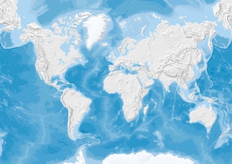
The importance of global seabed mapping has been highlighted with the release of a study that outlines 12 major use cases for the endeavour.
The newly published compendium — prepared by the Nippon Foundation-GEBCO Seabed 2030 Project in partnership with NLA International (NLAI) — identifies the role of seabed mapping in addressing some of the world’s most pressing marine and maritime challenges.
Those challenges include climate change mitigation, marine biodiversity protection, Blue Economy development, ocean sustainability, policy development and economic growth.
The use cases were compiled to provide critical empirical data to inform the development of a prioritised, targeted mapping strategy.
The study also seeks to bring together the global hydrographic community and stakeholders in the marine and maritime sectors, to establish a unified global mapping priority list.
The twelve use cases are:
- Seabed mapping innovation
- EEZ seabed mapping in the absence of a national hydrographic organization
- Subsea cable planning and design
- Tsunami propagation and storm surge modelling
- Renewable energy — offshore wind energy
- Climate change ocean models
- Small Island Developing States (SIDS) sea level rise and coastal inundation
- Marine biodiversity
- SIDS marine and coastal development and seabed mapping for marine spatial planning
- Government policy
- Ocean discovery and ocean exploration
- Seabed 2030 driving hydrographic industry expansion and human capital benefits
“The Seabed Mapping Use Cases represent a critical step forward in realising our vision of a fully mapped ocean,” said Seabed 2030 Project Director, Jamie McMichael-Phillips.
“Leveraging evidence-based priorities helps us ensure that seabed mapping efforts directly contribute to sustainability, innovation and economic development across multiple sectors — from climate resilience to the growth of the Blue Economy.”