

Registration is now open for the joint Locate25 and FIG Working Week 2025 event to be held in Brisbane in April.
Best of 2024: Q&A with Renee Bartolo, DCCEEW Chief Remote Pilot
By jnally on 2 January, 2025Protecting and preserving Australia’s ancient landscape using cutting-edge drone and mapping technology.
Best of 2024: Strengthening Australia’s commercial EO sector
By jnally on 1 January, 2025A new report from FrontierSI has highlighted the need for a coordinated calibration and validation network.
Best of 2024: PNT for Australia’s critical infrastructure
By jnally on 27 December, 2024Reliable PNT services are vital for Australia’s national security, and the need for risk mitigation is growing.
Latest Geospatial News
View all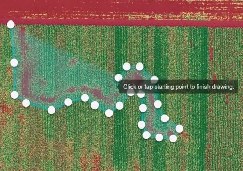
DroneDeploy clients will have access to 10,000 global GEODNET RTK stations for precise drone survey.
 2025-04-29
ADVERTISEMENT

Landchecker has partnered with ICEYE to enhance the former’s historical flood reporting capabilities.
2025-04-29 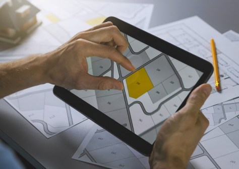
The CADex project will explore using CAD files to update departmental systems for all types of survey plans.
2025-04-29 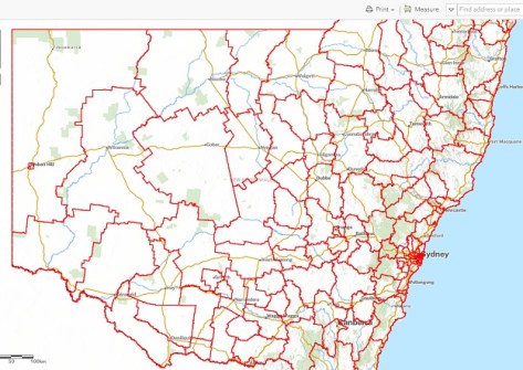
The upgrade is intended to provide a more streamlined experience, with access to essential tools and data.
2025-04-29 
The Gazetteer, the official record of place names, has been made more accessible and easier to use.
2025-04-29 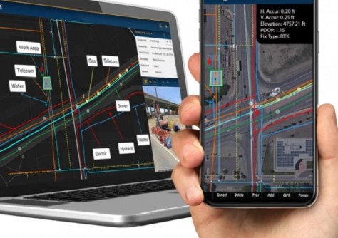
The collaboration will deliver a mobile solution that enables the visualisation of buried infrastructure.
2025-04-23
ADVERTISEMENT
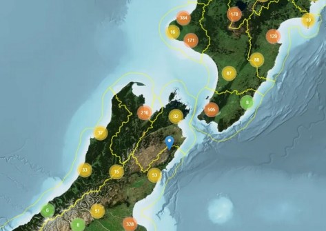
LINZ Basemaps data is being used to help control pest species and improve native habitats across New Zealand.
2025-04-23 
- Sponsored Content
Aidedo was founded based on the practical experience of CEO Aiden Tong while studying and working with many Civil Engineering and Land Surveying firms in developed countries.
2026-06-02
DEA Land Cover provides a detailed portrait of Australia made possible by nearly four decades of EO data.
2025-04-23 



Events
View All-
Nov 9
2026 Advancing Earth Observation Forum
 Hobart, Tasmania
-
Nov 10
SouthPAN Industry Day
Online -
Nov 13
South West and Great Southern Surveyors Conference
Mantra Bunbury Lighthouse, Bunbury, WA -
Nov 24
Locate26 Conference / 10th Digital Earth Summit
Melbourne Convention & Exhibition Centre -
Nov 30

