

The first round of data collection for the IGNIS Project involved 50 flying hours covering 10,000 km.
Maxar’s latest 30cm-class satellites launched
By jnally on 11 February, 2025Maxar says its WorldView Legion fleet will provide up to 3.6m square km of 30cm-class imagery per day.
ESA, Finland announce plans for cal/val supersite
By jnally on 5 February, 2025The ‘supersite’ for Earth observation calibration and validation would be established in Finnish Lapland.
Movement at the top: Company appointments
By jnally on 5 February, 2025New senior executive appointments have been announced at Hexagon, Woolpert and Emesent.
New map of protected NSW coastal lands
By jnally on 5 February, 2025The map shows the 15,000 hectares that have been acquired and protected over the past 52 years.
Planet Labs joins Copernicus Contributing Missions
By jnally on 4 February, 2025Planet’s SkySat imagery will sit alongside ESA’s Sentinel satellite data within the Copernicus services.
Wyvern offers unrestricted hyperspectral EO data
By jnally on 4 February, 2025Free Dragonette satellite imagery will be offered under the CC BY 4.0 creative commons license.
Latest Geospatial News
View all
Narelle Underwood, the first female Surveyor-General of NSW, has left to become Executive Director of Digital NSW.
 2025-10-21
ADVERTISEMENT

State survey mark spotting is a fun and educational activity that delivers real-world benefits to the surveying profession.
2025-10-21 
Registration is open for the upcoming AIN positioning, navigation and timing (PNT) conference in Sydney.
2025-10-20 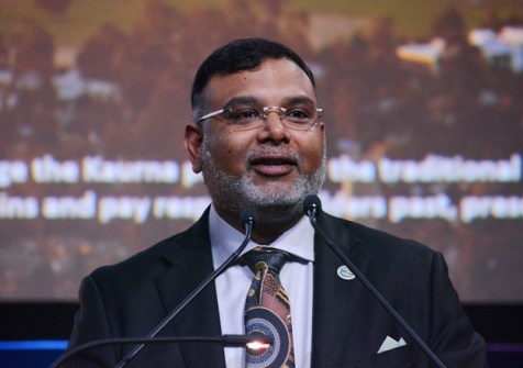
Dr Zaffar Sadiq Mohamed-Ghouse is now Chair of the UN-GGIM:GS and Vice Chair of the OGC Board of Directors.
2025-10-20 
Montreal, Canada, October 7th, 2025 – SimActive Inc., a world-leading developer of photogrammetry software,...
2025-10-08 
The two public sector Earth sciences bodies will merge to become a single entity following a government overhaul.
2025-05-21
ADVERTISEMENT
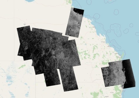
The new platform will provide enhanced capabilities and improved access to NovaSAR-1 data.
2025-05-21 
- Sponsored Content
Aidedo was founded based on the practical experience of CEO Aiden Tong while studying and working with many Civil Engineering and Land Surveying firms in developed countries.
2026-06-02
Space-related businesses are being invited to exhibit in the state trade pavilions at the IAC later this year.
2025-05-21 



Events
View All-
Nov 9
2026 Advancing Earth Observation Forum
 Hobart, Tasmania
-
Nov 10
SouthPAN Industry Day
Online -
Nov 13
South West and Great Southern Surveyors Conference
Mantra Bunbury Lighthouse, Bunbury, WA -
Nov 24
Locate26 Conference / 10th Digital Earth Summit
Melbourne Convention & Exhibition Centre -
Nov 30

