

Surveying and mapping are providing insights into some of the underwater risks facing New Zealand.
FIG/Locate: Last chance for standard rego rates
By jnally on 19 March, 2025The deadline for standard registration for the FIG/Locate conference, has been extended one last time.
Wyvern, Lemu collaborate for hyperspectral EO
By jnally on 18 March, 2025Lemu will add Wyvern imagery to its platform, while Wyvern will task excess Lemu imaging capacity.
Terria targets the digital twin universe
By jnally on 17 March, 2025We speak with the firm’s co-founders to find about more about its aim of making digital twins accessible to all.
FIG WW25/Locate25 program outline released
By jnally on 13 March, 2025The long-awaited, wide-ranging program for the combined Brisbane conferences in April has been released.
Electric grid geospatial solution
By jnally on 13 March, 2025The Network Surveyor bundle combines Teledyne’s airborne acquisition tech with Pointerra3D’s software suite.
Latest Geospatial News
View all
With a newly mapped maximum depth of 163 metres, Lake St Claire is deeper even than Bass Strait.
 2025-11-17
ADVERTISEMENT

The Committee on Earth Observation Satellites will be led in 2026 by CSIRO, GA and the Bureau of Meteorology.
2025-11-17 
The RFNS Volasiga is once again fully operational following the resolution of technical issues and system faults.
2025-11-14 
The test with an Arrow 100 receiver achieved 30-60cm accuracy, suitable for 75% of the Council’s mapping needs.
2025-11-14 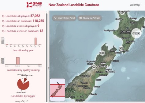
The number of records in the New Zealand Landslide Database will jump from 23,000 to more than 500,000.
2025-11-13 
UK-based RICS has published the first global professional standard for the responsible use of AI in surveying.
2025-11-13
ADVERTISEMENT

Three awards and six scholarships are on offer to women from any country who work in the field of GIS.
2025-11-13 
- Sponsored Content
Aidedo was founded based on the practical experience of CEO Aiden Tong while studying and working with many Civil Engineering and Land Surveying firms in developed countries.
2026-06-02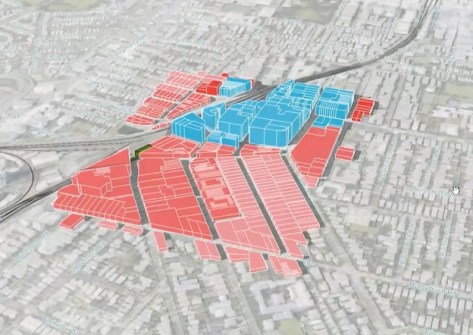
Land iQ uses more than 200 data sources and 75 land-use data types to help public- and private-sector land planning.
2025-11-13 



Events
View All-
Nov 9
2026 Advancing Earth Observation Forum
 Hobart, Tasmania
-
Nov 10
SouthPAN Industry Day
Online -
Nov 13
South West and Great Southern Surveyors Conference
Mantra Bunbury Lighthouse, Bunbury, WA -
Nov 24
Locate26 Conference / 10th Digital Earth Summit
Melbourne Convention & Exhibition Centre -
Nov 30

