

“Built environment” describes a scenario after the fact. But what does it mean?
Is it time to move beyond the limits of ‘built environment’ thinking?
By Spatial Source on 16 October, 2018Here launches cloud service and API
By Spatial Source on 10 October, 2018Here Technologies has launched Here XYZ, its cloud management service and API for location data.
Digital Earth Australia workshop series kicks off
By Daniel Bishton on 10 October, 2018Geoscience Australia and FrontierSI launch a national workshop series to shape the future of DEA this October.
Office of Future Transport Technologies launched
By Daniel Bishton on 9 October, 2018A $9.7 million federal investment will prepare for the arrival of automated vehicles.
Land surveying in the palm of your hand with SGS Prime COGO
By Spatial Source on 4 October, 2018SGS Prime COGO is an easy to use surveying and civil engineering software for HP Prime Graphing Calculator.
Latest Geospatial News
View all
UAVOS has converted an R22 manned helicopter into a long-range cargo delivery drone.
 2020-01-14
ADVERTISEMENT
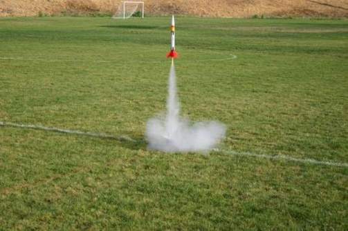
Southern Hemisphere space program blasts off at UniSA, offering four public events.
2020-01-14 
SimActive has accelerated Correlator3D processing with the new version 8.4.
2020-01-14 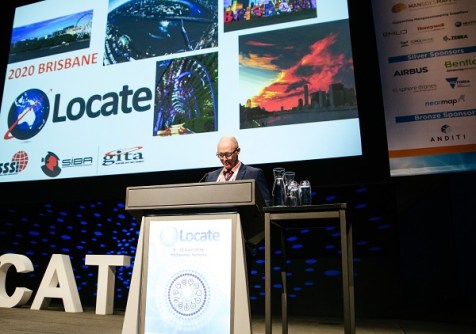
Position magazine spoke to Convenor Paul Reed about the challenges the industry is facing and how April's Locate20 looks to address them.
2020-01-08 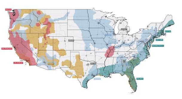
The 2100 Project: An Atlas for the Green New Deal is what Australia needs for effective policy making.
2020-01-08 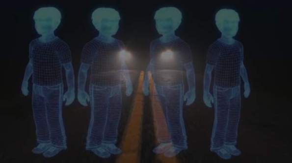
VoxelFlow technology is claimed to be capable of detecting objects far more accurately than LiDAR.
2020-01-08
ADVERTISEMENT
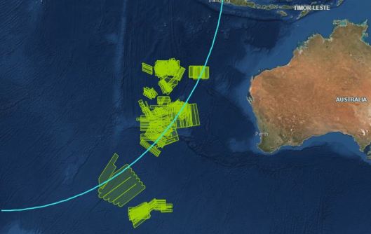
The missing MH370 helped push intelligent mapping applications beyond the realm of possibilities.
2020-01-08 
- Sponsored Content
Aidedo was founded based on the practical experience of CEO Aiden Tong while studying and working with many Civil Engineering and Land Surveying firms in developed countries.
2026-06-02
Satnav tracking devices between their shoulderblades are and helping to safeguard players' health.
2020-01-08 



Events
View All-
Nov 9
2026 Advancing Earth Observation Forum
 Hobart, Tasmania
-
Nov 13
South West and Great Southern Surveyors Conference
Mantra Bunbury Lighthouse, Bunbury, WA -
Nov 24
Locate26 Conference / 10th Digital Earth Summit
Melbourne Convention & Exhibition Centre -
Nov 30
-
Feb 5
2026 National EISSI Awards
Melbourne Convention & Exhibition Centre

