

The National Construction Code doesn’t go far enough to prepare our built environment for climate change.
Maxar, Toyota, NTT Data announce HD map partnership
By Spatial Source on 1 May, 2019Partnership seeks to build scalable, high definition maps for use by autonomous vehicles.
WGIC announces partnership with UN Statistics Division
By Daniel Bishton on 1 May, 2019A landmark public-private partnership to integrate geospatial technology into the pursuit of global development agendas.
Best of the blogs
By Daniel Bishton on 30 April, 2019Spatial Source’s fortnightly round-up of the best in cartography, spatial analysis and creative applications of GIS.
Debate crackles at #Locate19 space and spatial capability panel
By Daniel Bishton on 24 April, 2019A robust discussion on Australia’s future in space revealed a new set of dynamics.
Pepsi backtracks on CubeSat advertising plan
By Daniel Bishton on 17 April, 2019PepsiCo tries to distance itself from plan to create orbiting advertisement.
Latest Geospatial News
View all
Stimulus package to support industry aims to decarbonise air travel by 2035.
 2020-06-16
ADVERTISEMENT

ANZLIC has published two new resources on best practice for recording metadata for use with the AGRS.
2020-06-16 
The SSSI and Australasian Hydrographic Society will collaborate to further the interests of marine surveyors.
2020-06-16 
Advance Queensland grant to fund development of hybrid rocket propulsion systems.
2020-06-10 
Pix4D has launched two all-new cloud-based photogrammetry platforms.
2020-06-10 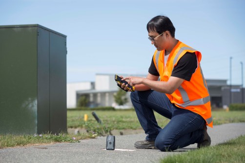
Trimble's partnership with TDC will bring precise positioning to Freeance users.
2020-06-09
ADVERTISEMENT

Emesent has announced new functionality for its Hovermap SLAM LiDAR scanners.
2020-06-09 
- Sponsored Content
Aidedo was founded based on the practical experience of CEO Aiden Tong while studying and working with many Civil Engineering and Land Surveying firms in developed countries.
2026-06-02
Tersus GNSS launches the BX40C: a compact, multi-constellation, centimetre-accurate RTK board.
2020-06-08 



Events
View All-
Nov 9
2026 Advancing Earth Observation Forum
 Hobart, Tasmania
-
Nov 13
South West and Great Southern Surveyors Conference
Mantra Bunbury Lighthouse, Bunbury, WA -
Nov 24
Locate26 Conference / 10th Digital Earth Summit
Melbourne Convention & Exhibition Centre -
Nov 30
-
Feb 5
2026 National EISSI Awards
Melbourne Convention & Exhibition Centre

