

NASA has contracted Maxar to robotically manufacture an antenna and spacecraft beam in orbit.
Latest Geospatial News
View all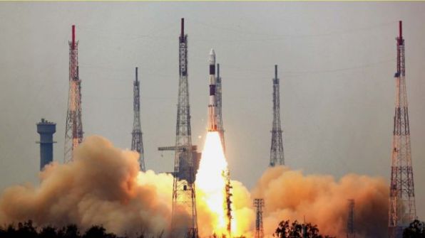
Kleos Space is to launch its third satellite cluster (KSF2) in December 2021 aboard a SpaceX Falcon 9 rocket.
 2021-03-08
ADVERTISEMENT
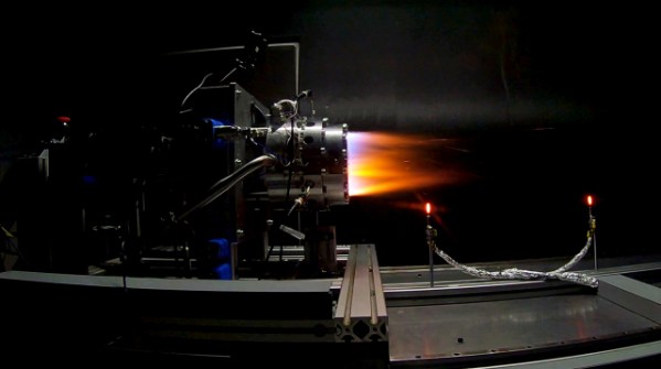
An Australian research consortium has successfully tested a next generation propulsion system.
2021-03-02 
Geo Connect Asia 2021 will combine plenary sessions and conferences in a hybrid format.
2021-03-02 
FrontierSI has announced the three successful participants for Round 1 of the 2021 AGO Labs program.
2021-03-02 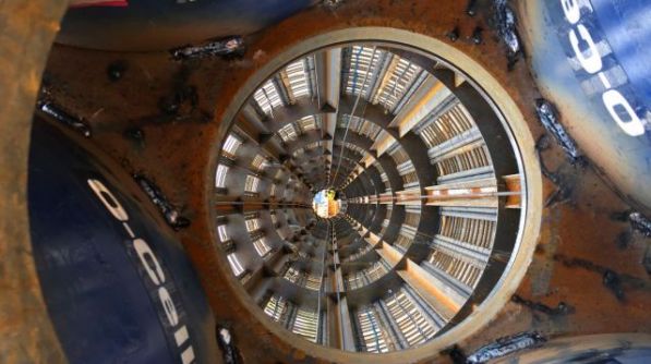
Fugro tested the Gordie Howe bridge’s foundations using its Osterberg Cell (O-cell) bidirectional tests.
2021-03-02 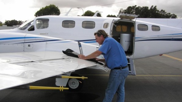
Aerometrex Limited has announced its results for the half year ended 31 December 2020 (H1 FY21).
2021-03-02
ADVERTISEMENT
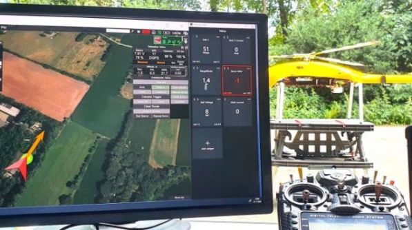
The Velos UAV helicopter has passed field tests to become the first single-rotor helicopter supported by UgCS software.
2021-03-02 
- Sponsored Content
Aidedo was founded based on the practical experience of CEO Aiden Tong while studying and working with many Civil Engineering and Land Surveying firms in developed countries.
2026-06-02
Australia’s competitive strengths in space manufacturing have been recognised in the Modern Manufacturing Strategy.
2021-02-23 



Events
View All-
Nov 9
2026 Advancing Earth Observation Forum
 Hobart, Tasmania
-
Nov 10
SouthPAN Industry Day
Online -
Nov 13
South West and Great Southern Surveyors Conference
Mantra Bunbury Lighthouse, Bunbury, WA -
Nov 24
Locate26 Conference / 10th Digital Earth Summit
Melbourne Convention & Exhibition Centre -
Nov 30

