A new study shows the importance of adhering to FAIR principles when offering GNSS data and services.

Singapore releases 10-year Geospatial Master Plan
Singapore has outlined key initiatives for geospatial-enabled outcomes to improve lives and solve challenges.
Read moreLatest Geospatial News
View all
ADVERTISEMENT
The change fulfills a US regulatory commitment to impose conditions only on a temporary basis.
 2023-09-07
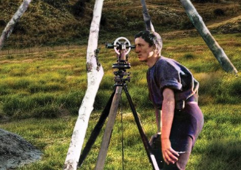
Remembering the remarkable personal and professional life of one of New Zealand’s most famous survey pioneers.
 2023-09-06
The group will identify standardisation requirements and promote coordination across the space sector.
 2023-09-06
The UK Space Agency is investing millions of pounds in space R&D, and many Australian partners are involved.
 2023-09-05
The awards were presented for work involving waterways, bridges, bushfire warning systems and more.
 2023-09-04
ADVERTISEMENT
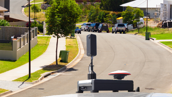
RapidMap now offers the Smart Street 360 which is a rapid deployment panorama camera capture GNSS solution to create personalised Spatially accurate Street Views efficiently. Ideal for Local Government, use for roadside assessments pre and post disaster or simply to record the current condition of shared paths, sealed and unsealed roads.
 2023-11-01
Low Earth orbit satellite observations are accelerating society’s journey towards sustainability.
 2023-09-01
 Events
View All-
May 2
GISTAM 2024
 Angers, France
 -
May 7
Locate24
 International Convention Centre, Sydney
 -
May 7
New Zealand: Digital Twin 2024 Summit
 Mövenpick Hotel Auckland, New Zealand
 -
May 9
4th International Symposium on Applied Geoinformatics 2024
 Wroclaw University of Science and Technology, Wroclaw, Poland
 -
May 13
Geospatial World Forum 2024
 Rotterdam, The Netherlands


