

iXblue has announced the award of two significant bathymetric survey contracts in Australia and New Zealand.
Seequent joins coalition of Microsoft partners for water conservation
By Spatial Source on 29 September, 2020NZ spatial software firm partners with Microsoft on water sustainability.
Ozri 2020 opens for registration
By Spatial Source on 23 September, 2020Ozri 2020 has been redefined as a free, virtual information sharing event with a few twists.
Best of the blogs
By Spatial Source on 22 September, 2020Spatial Source’s fortnightly round-up of the best in cartography, spatial analysis and creative applications of GIS.
Australia’s first commercial rocket launches successfully
By Spatial Source on 22 September, 2020Australia’s first commercial rocket has successfully launched after a thwarted first attempt.
SmartSat CRC, CSIRO partner on waterway monitoring
By Daniel Bishton on 22 September, 2020Project to build sensor and satellite network to monitor river health.
Pix4D, SAP partner on 3D transmission mast inspection
By Spatial Source on 16 September, 2020Pix4D and SAP announce new integrated offering aimed at automated asset inspection for telcos.
False start for first Australian private rocket launch
By Spatial Source on 16 September, 2020Southern Launch’s DART rocket fails to ignite.
Latest Geospatial News
View all
Start-ups will be supported via mentoring and access to resources at the University of South Australia.
 2021-09-20
ADVERTISEMENT

You have until 30 September to provide feedback on NSW’s transition from paper to digital survey plans.
2021-09-15 
The South Australia Spatial Information Day and APSEA-SA 2021 dinner will be held on Friday, 17 September.
2021-09-15 
You can help build a bright future for the spatial industry by taking part in the Inclusion@Work survey.
2021-09-14 
Infinity Avionics plans to develop cameras for applications such as earth observation and spacecraft monitoring.
2021-09-13 
The 42 Engineer Regiment (Geographic) has been recognised for its efforts during the UK’s COVID-19 response.
2021-09-13
ADVERTISEMENT
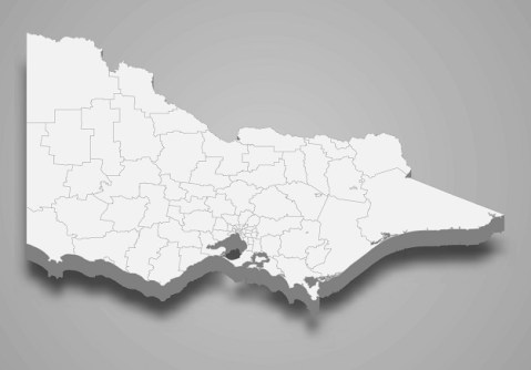
Stakeholder feedback is needed for a once-in-a-generation review of licensing for cadastral surveyors.
2021-09-08 
- Sponsored Content
Aidedo was founded based on the practical experience of CEO Aiden Tong while studying and working with many Civil Engineering and Land Surveying firms in developed countries.
2026-06-02
Position Partners has supplied a full complement of the latest surveying and mapping instruments and software.
2021-09-07 



Events
View All-
Nov 9
2026 Advancing Earth Observation Forum
 Hobart, Tasmania
-
Nov 10
SouthPAN Industry Day
Online -
Nov 13
South West and Great Southern Surveyors Conference
Mantra Bunbury Lighthouse, Bunbury, WA -
Nov 24
Locate26 Conference / 10th Digital Earth Summit
Melbourne Convention & Exhibition Centre -
Nov 30

