

Image courtesy SSSI
The SSSI’s annual South Australia Spatial Information Day and APSEA-SA 2021 presentation will take place on Friday, 17 September at the Adelaide Convention Centre.
Attendees will learn all about the latest applications, theories and techniques being applied in surveying, remote sensing and photogrammetry, building information modelling and geographic information systems.
Topics to be covered range from surveying to the state of play of GIS, from future data to hydrography, and from the environment to GIS in government.
There’ll be an impressive number of presentations for a one-day event, with almost 50 plenary and keynote addresses and individual talks (many of them in parallel streams) from industry, academia and government. The keynote speakers will be:
- Commodore Stewart Dunne, Hydrographer of Australia, Department of Defence
- Genéne Kleppe, Chief Executive Officer, Digital Twinning Australia
- Professor Andy Koronios, CEO & Managing Director, SmartSat Cooperative Research Centre
- Andrew McCulloch, Exploration Futurist, OZ Minerals
- Byron Riessen, Principal (Space) Deloitte
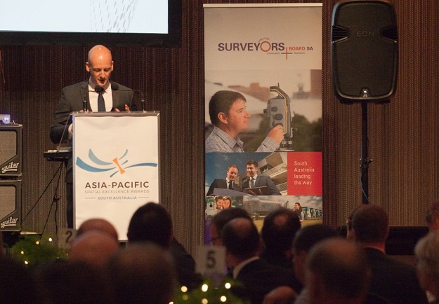
Following the conference will be the Asia-Pacific Spatial Excellence Awards of South Australia (APSEA-SA) Dinner, from 6:30 pm in the Panorama Room at Adelaide Convention Centre.
The Spatial Information Day is a great opportunity for early career professionals to meet, network and obtain advice, particularly via the Young Professionals booth.
The full program can be viewed on the event’s website, and registration can be made online. There are discounts for SSSI members, including special prices for student members.
Stay up to date by getting stories like this delivered to your inbox.
Sign up to receive our free weekly Spatial Source newsletter.


