

IIC Technologies and Deakin University will run the first S-5B accredited public-access course in Australasia.
Grants available for location data proposals
By jnally on 3 June, 2021Grants of $25,000 will be awarded to up to six applicants under WA’s SPUR Location Grants Program.
Mexico City is sinking at up to 50 cm per year
By jnally on 1 June, 2021Researchers say subsidence caused by groundwater extraction could reach 30 m over the next 150 years.
Miniature LiDAR technology shows promise
By jnally on 1 June, 2021A Korean research team has proposed nanophotonics-based LiDAR tech which, it hopes, will revolutionise the field.
Gearing up for the next Living Planet Symposium
By jnally on 1 June, 2021Billed as the world’s biggest Earth observation conference, the ESA-led event will be held in Bonn in May 2022.
NASA’s Earth System Observatory gets green light
By jnally on 31 May, 2021The new satellite project will “create a 3D, holistic view” for climate, agriculture and natural hazard research.
WGIC announces new executive line-up
By jnally on 31 May, 2021The World Geospatial Industry Council has announced a new board, office bearers, chairs and corporate members.
New space data facility seeks SME collaboration
By jnally on 26 May, 2021The Australian Space Data Analysis Facility aims to stimulate innovation in the use of space data by SMEs.
Latest Geospatial News
View all
The investment will enable Maxar to bring more 3D capabilities to broader markets for more customers.
 2022-04-21
ADVERTISEMENT
Australia is coming late to the space sector in many ways, but the pace is picking up at last.
2022-04-20 
Initial offering will include vertical imagery updated multiple times per year at up to 5.5 cm resolution.
2022-04-19 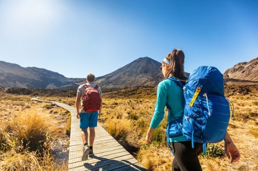
Containing thousands of ready-made trails for bushwalkers, the app includes a variety of map layers.
2022-04-19 
In the lead up to Locate22 in May, we’re highlighting some of the vendors you’ll be able to meet.
2022-04-18 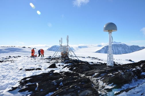
GPS sensors placed on rocky outcrops are helping assess the icy continent’s contribution to sea level rise.
2022-04-15
ADVERTISEMENT
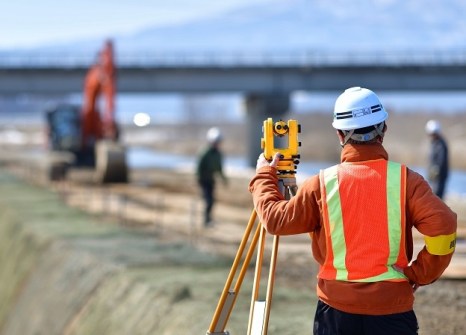
Bentley’s Going Digital Awards in Infrastructure will celebrate exemplary projects and advances.
2022-04-14 
- Sponsored Content
Aidedo was founded based on the practical experience of CEO Aiden Tong while studying and working with many Civil Engineering and Land Surveying firms in developed countries.
2026-06-02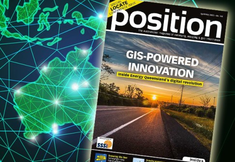
The Apr/May issue of Position is now out, with all the latest news in surveying, space and spatial.
2022-04-13 



Events
View All-
Nov 9
2026 Advancing Earth Observation Forum
 Hobart, Tasmania
-
Nov 10
SouthPAN Industry Day
Online -
Nov 13
South West and Great Southern Surveyors Conference
Mantra Bunbury Lighthouse, Bunbury, WA -
Nov 24
Locate26 Conference / 10th Digital Earth Summit
Melbourne Convention & Exhibition Centre -
Nov 30

