GPS sensors are helping to measure land movement in Antarctica. Credit: Matthew Burke.
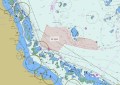
Researchers from the recently formed ARC Australian Centre for Excellence in Antarctic Science (ACEAS), based at the University of Tasmania, are using GPS sensors to measure land movement across the icy continent — in particular an area the size of Australia known as East Antarctica.
“Antarctica is a crucial yet fragile part of Earth’s climate system. The region is also challenging to observe, monitor and understand as it is remote and difficult to reach,” said ACEAS Director, Professor Matt King. “Every day a little bit of Antarctica turns up on the coastlines of the world through sea level rise and coastal erosion. But the big question remains: how is Antarctica changing and by how much?”
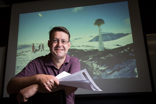
Professor Matt King, Director of the ARC Australian Centre for Excellence in Antarctic Science. Credit: ACEAS.
In the new study, the team places the sensors on previously unobserved rocky outcrops to measure land movement. This helps separate the effects of the land going up or down from the lowering of land ice.
“Our study overturns an assumption that the bedrock below the icesheet in Antarctica has been rebounding since the last ice age,” Professor King said. “It is instead going down. We think this is because the ice in this area grew over the last few thousand years and then stabilised.”
“By getting into the field and measuring the land movements — with really precise GPS — we can get better measurements of Antarctica’s contributions to sea level change,” he added. But just finding rocky outcrops is one of the biggest challenges. “Rock in Antarctica is like hens’ teeth. And where they are is remote and cold.”
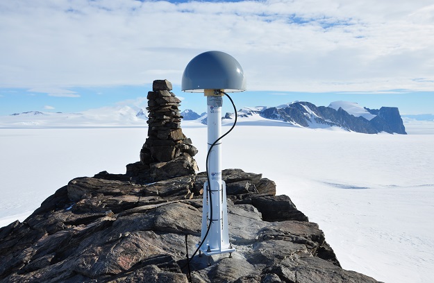
Even just finding rocky outcrops in East Antarctica is very difficult. Credit: Matthew Burke.
Professor King says ACEAS scientists are working on placing more GPS sensors and exploring ways to power them through the Antarctic winters. “We also need to find ways to figure out how the Earth is moving underneath the vast ice sheet there — where there are no rock outcrops,” he said. “That’s a real challenge and there are no simple solutions yet.”
Stay up to date by getting stories like this delivered to your inbox.
Sign up to receive our free weekly Spatial Source newsletter.