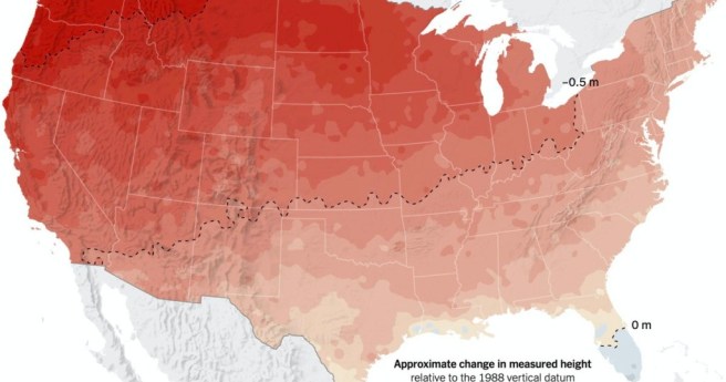
New satellite data shows NZ’s major cities are sinking, mean rising sea levels...
sea level rise
-
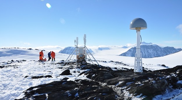
GPS sensors placed on rocky outcrops are helping assess the icy continent’s contribution...
2022-04-15
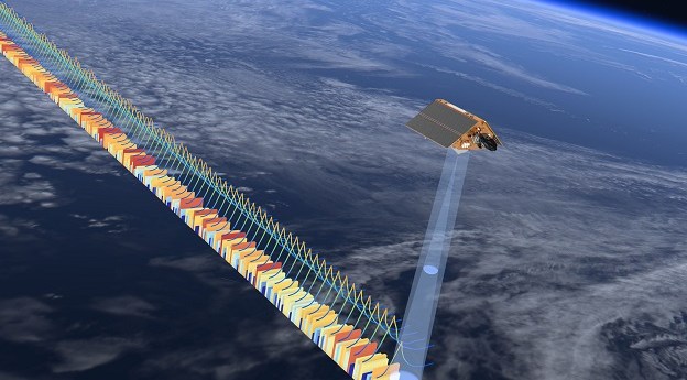
New algorithms are key to measuring sea-level change in coastal areas with millimetre-per-year...2021-07-14
Spatial Source’s fortnightly round-up of the best in cartography, spatial analysis and creative...2020-07-07
ADVERTISEMENTHow have traditional owners responded to historic sea level rise?2018-01-16
Newsletter
Sign up now to stay up to date about all the news from Spatial Source. You will get a newsletter every week with the latest news.
© 2025 Spatial Source. All Rights Reserved.
Powered by WordPress. Designed by ![]()


