Latest Geospatial News

View all
Group on Earth Observations joins disaster network
The Risk-informed Early Action Partnership aims to make 1 billion people safer by 2025.
ADVERTISEMENT
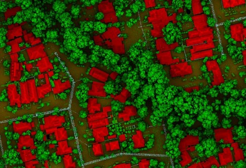
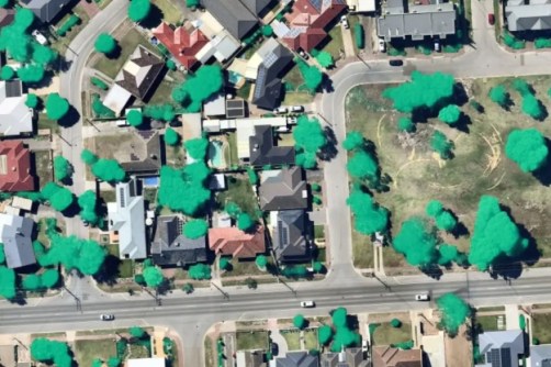
How to measure tree canopy coverage
LiDAR is the most precise way to measure tree canopies and gauge changes over time.
Interview: Ben Berghauser, Onneer
It takes more than software to make the most of GIS, says Onneer’s managing director, Ben Berghauser.
Vendor Focus: DISP
Vendor Focus: DISP
In the lead up to Locate22 conference, we’re highlighting some of the vendors you’ll be able to meet.
Nearmap starts production of new aerial solution
The company has completed the research and testing phase for its new HyperCamera3.
Peak bodies welcome ‘future workforce’ report
SSSI and SIBA|GITA have thrown their support behind a call to address surveying and spatial career challenges.
ADVERTISEMENT
Cadastre NSW expands with 3D proposed data
CadNSW users are now able to receive a proposed 3D Strata Plan layer to complement the existing 2D layers.
How do AEC Firms in Australia easily access engineering workforce at a lower cost?
  • Sponsored Content
How do AEC Firms in Australia easily access engineering workforce at a lower cost?
Aidedo was founded based on the practical experience of CEO Aiden Tong while studying and working with many Civil Engineering and Land Surveying firms in developed countries.
Survey and Spatial NZ welcomes new board chair
Mike Benning brings a wealth of experience to the board, including time in the public and private sectors.

Events

View All

Featured Video

Newsletter

Sign up now to stay up to date about all the news from Spatial Source. You will get a newsletter every week with the latest news.