A new document defines the underlying concepts of time, such as events, clocks, timescales and coordinates.
Geoscience Australia to give online update briefing
The Showcase 2026 event will cover the Digital Atlas of Australia, seabed mapping, critical minerals and more.
Read moreLatest Geospatial News
View all
ADVERTISEMENT
The event will address key challenges facing the Asian region, from public health to infrastructure and AI.
Experts in GNSS, PNT and robotics have been lined up to speak at the conference in Sydney in February.
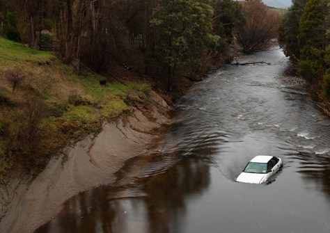
The Tasmanian Strategic Flood Map–Risk Assessment provides a digital twin for strategic flood risk estimation.
The project will seek to harness quantum tech to guarantee the authenticity of received PNT data.
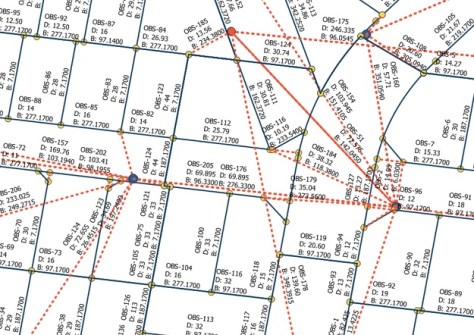
The project will deliver a standard specification for exchanging Australian and New Zealand cadastral survey data.
ADVERTISEMENT
Highly regarded individuals and teams received their awards at the annual ceremony in Canberra.
Aidedo was founded based on the practical experience of CEO Aiden Tong while studying and working with many Civil Engineering and Land Surveying firms in developed countries.
The interactive online mapping tool lets students and teachers explore the world through geography.
Events
View All-
Nov 24
Locate26 Conference / 10th Digital Earth Summit
Melbourne Convention & Exhibition Centre -
Nov 30
-
Feb 5
2026 National EISSI Awards
The Marion, Barrine Drive Regatta Point, Commonwealth Park, Canberra -
Mar 15
Association of Public Authority Surveyors, NSW, 2027 Conference
Crowne Plaza, Terrigal