Britain’s national mapping body says it wants to use AI effectively but responsibly to drive positive change.
Locate26 Conference: Detailed program rundown
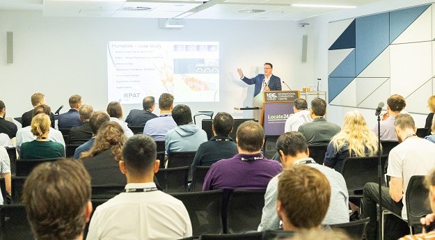
The Locate conference is less than three weeks away, so now’s the time to register and check out the program.
Read moreLatest Geospatial News
View all
ADVERTISEMENT
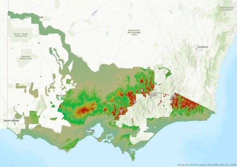
The new DEM covers 60% of Victoria and provides a 100x improvement in detail over the 10m DEM.
Target markets for the mobile platform include resources, mining, construction and emergency services.
The re-constructed baseline in Melbourne’s eastern suburbs features eight pillars along a 593m reserve.
Luh Shyang Loo, a 25-year Fugro veteran, will commence in his new role on 1 October 2024.
The 2024 Sol Katz Award for Free and Open Source Software for Geospatial will be awarded in December.
ADVERTISEMENT
The Forum will bring the community together to collaborate on common drivers of geospatial programs.
Aidedo was founded based on the practical experience of CEO Aiden Tong while studying and working with many Civil Engineering and Land Surveying firms in developed countries.
The Surveyors Board of Queensland has issued a reminder that only Registered Surveyors can issue such certifications.
Events
View All-
Nov 9
2026 Advancing Earth Observation Forum
Hobart, Tasmania -
Nov 10
SouthPAN Industry Day
Online -
Nov 13
South West and Great Southern Surveyors Conference
Mantra Bunbury Lighthouse, Bunbury, WA -
Nov 24
Locate26 Conference / 10th Digital Earth Summit
Melbourne Convention & Exhibition Centre -

Nov 30