Envisioning human-computer interaction with the latest geoinformatic and cartographic devices.
Locate26 Conference: Detailed program rundown
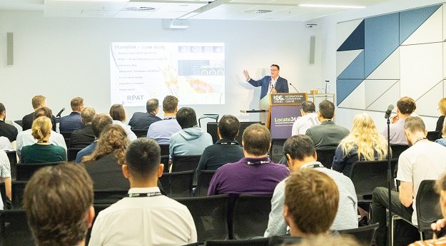
The Locate conference is less than three weeks away, so now’s the time to register and check out the program.
Read moreLatest Geospatial News
View all
ADVERTISEMENT
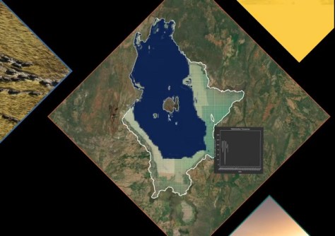
Digital Earth Africa’s Waterbodies Monitoring Service provides time series EO for 700,000-plus water bodies.
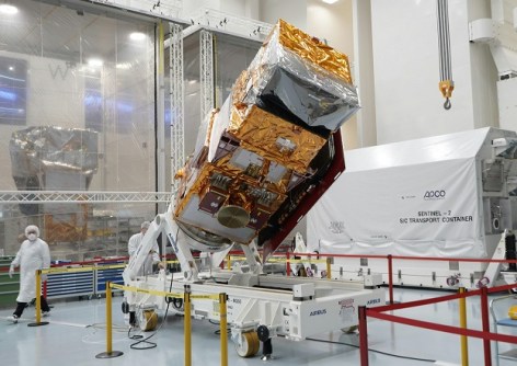
The new satellite will produce imagery in 13 spectral bands with resolutions of 10, 20 and 60 metres.
The IBSC is aiming to update the S-5 and S-8 Standards of Competence for surveyors and cartographers.
Australian businesses are being given the opportunity to engage with UniSQ geospatial students.
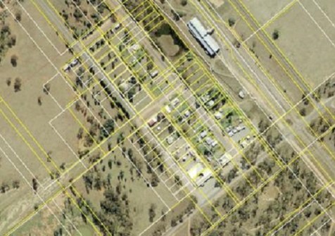
In Albert and Girilambone, the property boundaries of hundreds parcels have been improved by up to tens of metres.
ADVERTISEMENT
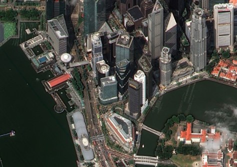
Maxar Intelligence has released images from the first two WorldView Legion satellites, featuring 30cm resolution.
Aidedo was founded based on the practical experience of CEO Aiden Tong while studying and working with many Civil Engineering and Land Surveying firms in developed countries.
The company says its technology has proven resilient to widespread GPS interference in a live conflict zone.
Events
View All-
Nov 9
2026 Advancing Earth Observation Forum
Hobart, Tasmania -
Nov 10
SouthPAN Industry Day
Online -
Nov 13
South West and Great Southern Surveyors Conference
Mantra Bunbury Lighthouse, Bunbury, WA -
Nov 24
Locate26 Conference / 10th Digital Earth Summit
Melbourne Convention & Exhibition Centre -

Nov 30