LINZ has developed a prototype for digitally viewing and interacting with the Cadastral Survey Dataset.
Locate26 Conference: Detailed program rundown
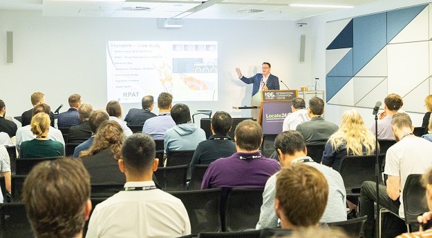
The Locate conference is less than three weeks away, so now’s the time to register and check out the program.
Read moreLatest Geospatial News
View all
ADVERTISEMENT
The awards recognised efforts ranging from native vegetation to school safety, satellite EO to Pacific assistance.
The retirement of HMAS Melville leaves just HMAS Leeuwin as the RAN’s sole dedicated hydrographic survey vessel.
KPMG has been signed as Delivery Partner, and a data management framework has been endorsed.
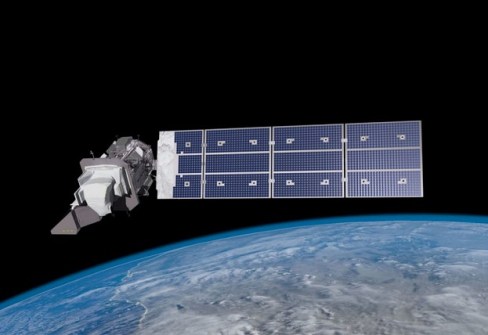
Australia has committed $207m to Landsat Next, but the nation remains reliant on foreign-supplied EO data.
Rehabilitation and post-mining land use data is available for the first time on the NSW’s SEED portal.
ADVERTISEMENT
August 10 is the final date for early bird registrations for the ISPRS symposium in Perth in October.
Aidedo was founded based on the practical experience of CEO Aiden Tong while studying and working with many Civil Engineering and Land Surveying firms in developed countries.
Bluesky will capture photography to as little as 5cm resolution as well as infrared imagery, across Great Britain.
Events
View All-
Nov 9
2026 Advancing Earth Observation Forum
Hobart, Tasmania -
Nov 10
SouthPAN Industry Day
Online -
Nov 13
South West and Great Southern Surveyors Conference
Mantra Bunbury Lighthouse, Bunbury, WA -
Nov 24
Locate26 Conference / 10th Digital Earth Summit
Melbourne Convention & Exhibition Centre -

Nov 30