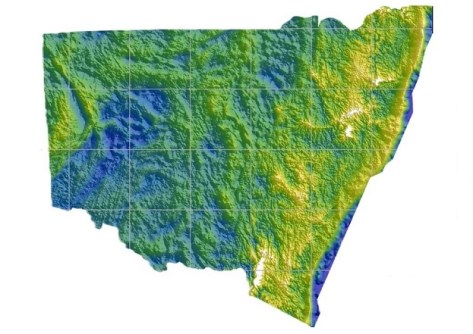
The Model covers more than 800,000 square km of NSW and the ACT, including 50 km off the NSW coastline.
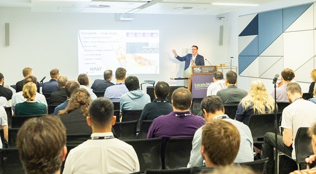
Locate26 Conference: Detailed program rundown
The Locate conference is less than three weeks away, so now’s the time to register and check out the program.
Read moreLatest Geospatial News
View all
ADVERTISEMENT
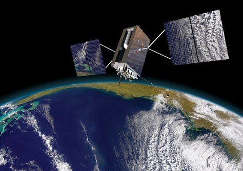
Australia’s free GPS processing service now uses the latest International Terrestrial Reference Frame.
The Kanyini, CUAVA-2 and Waratah Seed-1 satellites have been lofted into orbit aboard the SpaceX Transporter-11 flight.
Geospatial research and analysis are critical in providing the evidence base required for policy and planning.
The widely used Defense Advanced GPS Receiver has been put to the test under simulated jamming conditions.
New research aims to improve the inspection of roads, retaining walls and embankments from space.
ADVERTISEMENT
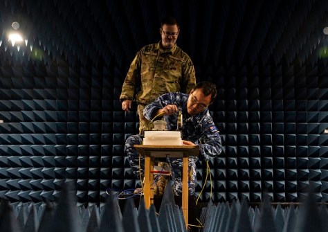
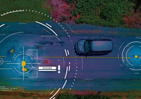
The ‘Armouring the Clock’ project aims to strengthen the ADF’s positioning, navigation and timing capabilities.
Aidedo was founded based on the practical experience of CEO Aiden Tong while studying and working with many Civil Engineering and Land Surveying firms in developed countries.
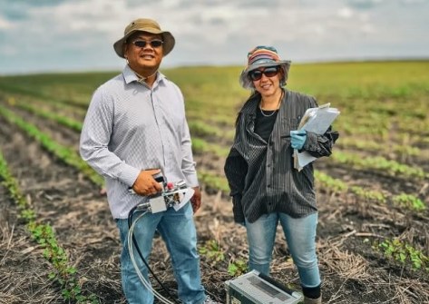
A federal grant will help UniSQ researchers team with colleagues in Vietnam to boost rice and fruit yields.
Events
View All-
Nov 9
2026 Advancing Earth Observation Forum
Hobart, Tasmania -
Nov 10
SouthPAN Industry Day
Online -
Nov 13
South West and Great Southern Surveyors Conference
Mantra Bunbury Lighthouse, Bunbury, WA -
Nov 24
Locate26 Conference / 10th Digital Earth Summit
Melbourne Convention & Exhibition Centre -

Nov 30