New Products
-
SimActive’s Correlator3D software now provides full support for Phase One’s new iXM-FS130 sensor.
2026-02-23
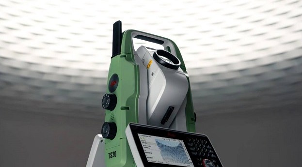
The Leica TS20 robotic total station features edge AI to automate surveying and...2025-11-04
Trimble has introduced the Applanix POS LVX+ and POS AVX RTX for land-based...2025-11-03
Emlid has introduced new RTK GNSS receivers, including the RS4, and the RS4...2025-10-21
- ADVERTISEMENT
XGRIDS’ Lixel CyberColor Studio v1.7.0 integrates 3DGS technology with proprietary multi-SLAM algorithms.2025-04-15
The move will enable Esri ArcGIS users to take advantage of Emlid’s GNSS...2025-04-04
DJI has introduced the Matrice 4 Series as the company’s new compact flagship...2025-03-25
Blue Marble Geographics has launched Geographic Calculator 2025 alongside the new Geographic Calculator...2025-03-20
Klau Geomatics’ Stockpiler bulk materials management system is for use in the handling...2025-03-18
The Network Surveyor bundle combines Teledyne’s airborne acquisition tech with Pointerra3D’s software suite.2025-03-13
The new IMAGER 5024 series is said to reduce scanning time by up...2024-11-29
The NavVis MLX lightweight, ergonomic instrument is a significant advance in the field...2024-11-08
The GS05’s streamlined data-collection functionalities enable surveyors to do more each day in...2024-11-01
The 360-degree camera can capture spherical images from moving platforms and in all-weather...2024-10-17
The MLX delivers point cloud data captured by a 32-layer LiDAR sensor and...2024-09-20
HP SitePrint from Aptella automatically prints plans directly onto surfaces, increasing speed and...2024-09-04
HP SitePrint improves accuracy and speed when doing site layouts, and eliminates the...2024-08-21
Version 2 of NovAtel Application Suite includes the GRIT Monitor for GNSS radio...2024-07-30
Maptek has released its GeoSpatial Manager software for mining and civil engineering users.2024-07-25
The Apogee-D from SBG Systems is an all-in-one IMU/GNSS that embeds an RTK-...2024-07-23
Newsletter
Sign up now to stay up to date about all the news from Spatial Source. You will get a newsletter every week with the latest news.
© 2026 Spatial Source. All Rights Reserved.
Powered by WordPress. Designed by


