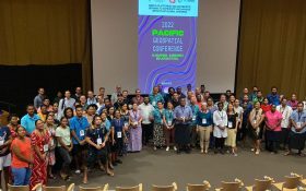
The 2024 edition of the International Conference on Geographical Information Systems Theory, Applications and Management (GISTAM 2024) aims to create a meeting point of researchers and practitioners that address new challenges in geo-spatial data sensing, observation, representation, processing, visualization, sharing and managing, in all aspects concerning both ICT as well as management information systems and knowledge-based systems.
The conference welcomes original papers of either practical or theoretical nature, presenting research or applications, of specialised or interdisciplinary nature, addressing any aspect of geographic information systems and technologies, such as:
- Data acquisition and processing
- Remote sensing
- Interaction with spatial-temporal information
- Spatial data mining
- Managing spatial data
- Modelling, representation and visualisation
- GIS and climate change
- Domain applications

The 2024 Pacific Islands GIS & Remote Sensing Users Conference is reputably the largest GIS and remote sensing conference attended by Pacific Islanders, who leverage this annual opportunity to network and pursue partnerships with practitioners from around the globe.
The conference spotlights the latest innovative technologies, promotes knowledge and capacity development and sharing of best practices, and attracts a gathering of more than 300 attendees.
The theme for the 2024 event will be ‘Sustainable management of coastal areas through remote sensing and GIS.’


