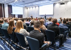
Unable to hold its scheduled 2021 NSW Regional Conference earlier in 2022, SSSI is now inviting the spatial community to join it for a special online seminar featuring some of the speakers from the original program, along with the announcement of the NSW winners of the 2021 Asia-Pacific Spatial Excellence Awards.
This seminar will focus on the importance, efficiency and innovation spatial data can provide in crisis management situations and will feature presentations on:
- Finding your Friendship Island amongst a sea of COVID restrictions — presented by Stella Blake-Kelly, Founder/Director, Cartisan
- Geospatial Intelligence: Providing real-time insights supporting NSW State Emergency Service’s emergency management response — presented by Melissa Daley, Manager, Geospatial Intelligence Systems, NSW State Emergency Service
- COVID-19 Near Me: Trials and tribulations — presented by Kenneth Tsang, Director, jxeeno

The Tasmanian Spatial Information Council (TASSIC) will hold a Geospatial Workforce Development Forum on 9 November 2023, to help shape the future of the geospatial sector in Tasmania.
The Forum will bring together key stakeholders from education, employers, government and suppliers to address critical challenges and opportunities facing the sector.
The Forum will include presentations from representatives of industry, government and the education sector, as follows:
- Paul Digney (Jacobs)
- Rob Rowell (Insight GIS)
- Ben Morris (Local Government Association of Tasmania)
- Michael Krome (Australian Spatial Analytics)
- Arco Lucieer (University of Tasmania)
- Sam Ebert (TAFE NSW)
- Troy Robbins (TasTAFE)
The event will conclude with a moderated discussion session led by Danika Bakalich (Geospatial Council of Australia).
The Forum will be a hybrid event with both in-person and online attendance options available, and it will employ the Menti-Meter program to facilitate discussions, ensuring that each delegate’s voice is heard and their input valued.
Image credit: ©stock.adobe.com/au/borisblik


