Traditional survey techniques such as terrestrial laser scanners and total stations are highly accurate, but they are extremely slow. Not to mention that road closures can cost tens of thousands of dollars per day. While SLAM-based mobile laser scanning solutions offer faster data capture, they too typically struggle with large open areas but for a different reason.
Often large open areas are repetitive, sparse environments, where there are limited features for a SLAM solution to grab onto and identify where it is. This causes the SLAM algorithm to “drift”, making the resulting point cloud less accurate and not reflective of reality.
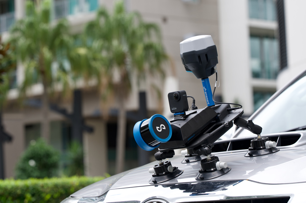
GNSS-based real-time kinematics (RTK) solves this problem, by constantly inputting the current XYZ location of the receiver with survey-grade accuracy. This is why Emesent’s Hovermap is RTK-enabled for drone, vehicle and backpack scans. Emlid’s easy to use Reach RTK GNSS receivers are integrated into the Hovermap solution to enable RTK-corrected data collection.
This integration delivers a simplified, fast-tracked workflow that automates the creation of accurate, georeferenced point clouds when scanning large or ‘feature-less’ areas or challenging environments where ground control targets are not feasible.
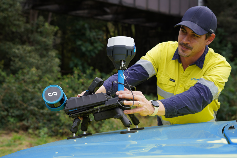
For vehicle scans, Hovermap integrates RTK via a simple mount that attaches to any vehicle via magnetic or vacuum feet.
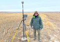
Emesent recently partnered with Orion Spatial Solutions to test Hovermap’s RTK accuracy using an Emlid GNSS receiver. You’ll find more information about Vehicle RTK for Hovermap, access to the test report and case studies via the link below.
For more about Vehicle RTK
https://emesent.com/vehicle-mount-rtk/