

The South Australian Government has committed $500,000 in funding via the SmartSat CRC to deliver two new research projects that aim to enhance environmental monitoring of the Earth.
The research will pilot the use of artificial intelligence along with data captured by South Australian-built satellite, Kanyini, to look at ways to support government agencies and research institutions for thermal sensing and biodiversity mapping.
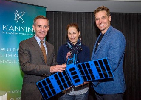
SmartSat CRC, which is leading the Kanyini mission, will guide the two projects. Kanyini is scheduled for launch onboard SpaceX Transporter 11 in July.
One of the projects will use Kanyini’s thermal imagery and AI-based analytics to provide a more up-to-date picture of surface temperatures across Adelaide and areas of regional South Australia, with the goal of determining how temperature affects the populace.
It is hoped that the work, which will be done in conjunction with the Department for Environment and Water, will enable more adaptive planning and responses to the impacts of heatwaves.
In addition, it is hoped the work will enable refinement of infrastructure planning and mitigation strategies, boost community resilience during heat events and lead to ‘greening’ investment.
The second project, also in collaboration with the Department for Environment and Water plus the Department of Primary Industries and Regions SA (PIRSA) , will test the use of Kanyini’s capabilities to improve understanding of land-use.
The enhanced data could be used to help monitor changes in native vegetation cover, crop health and land-use.
Specifically focusing on Kangaroo Island and the South Australia’s northern pastoral region, it is hoped the satellite’s hyperspectral imagery and AI-based analytics will deliver improved understanding of native vegetation communities and key species important for carbon sequestration.
“Until now, images of our state have been sourced from foreign satellites, limiting our access to up-to-date, detailed images of areas of interest,” said SmartSat CRC CEO, Professor Andy Koronios.
“With the Kanyini mission, we are demonstrating the capability to capture images of specific locations tailored to particular applications.
“By leveraging advanced data analytics, we have the ability to transform these images into actionable intelligence for state government departments for the benefit of all South Australians.”


