

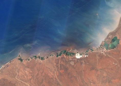
Scientists have used satellite imagery and ground-truthing to map little-known reefs in northern Australian waters.
The 1,000-plus reefs were identified as part of a Marine and Coastal Hub project, using improved satellite imaging and remote sensing methods.
As Spatial Source reported last year, the project team, led by the Australian Institute of Marine Science and the University of Queensland (UQ), undertook 700 hours of manual mapping and classifying to produce the first comprehensive view of coral reef boundaries across northern Australia.
The outcome was a catalogue of more than 4,000 coral reefs and 3,000 rocky reefs.
In a recent webinar (below) held by the National Environmental Science Program, project lead Dr Eric Lawrey outlined the findings and described how the team used datasets of reef boundaries, satellite imagery optimised for the marine environment, and geomorphic and benthic habitat maps for shallow clear reefs.
The project employed satellite imaging techniques methods consistent with existing reef mapping of the Great Barrier Reef, Torres Strait, and the Coral Sea.
The overall aim is to assist with the planning and evaluation of coastal development across northern Australia, to help ensure that sensitive habitats are identified and properly considered in development proposals or park conservation.
In a second webinar (below), project researcher Dr Marina Richardson described efforts to map and assess the status of tropical oyster (‘shellfish’) reefs across Northern Australia.


