Satellite imaging and communications promise to vastly improve agricultural practices, adding billions to...
remote sensing
-
Sentinel-2 imagery plus machine learning will produce high-quality, state-wide maps of fire-affected areas.
2021-11-25
Earth observation projects have shared in nearly $370,000 from the NSW Space Demonstrator...2021-11-22
A new report looks at the capabilities of public, private and hybrid satellite...2021-11-17
ADVERTISEMENTKlaus Hasselmann’s work led to advances in the modelling of Earth’s climate, variability...2021-10-12
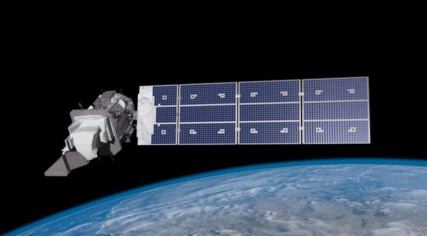
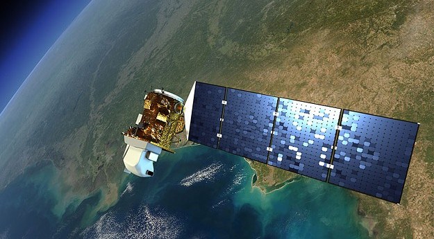
The joint NASA/USGS mission will provide 30-metre resolution in 11 wavelengths across the...2021-09-28
A launch date of no earlier than September 23 has been set for...2021-08-31
SITAEL Australia and the Institute for Photonics and Advanced Sensing to work on...2021-08-30
The South African National Space Agency will host the Digital Earth Africa Program...2021-08-19
Planet Labs merger with dMY Technology Group and public listing will value the...2021-07-12
The virtual event June 22–25 will explore new approaches to using EO data,...2021-06-11
Two new reports outline the factors shaping the future of the Australian satellite...2021-06-09
Billed as the world’s biggest Earth observation conference, the ESA-led event will be...2021-06-01
LatConnect60 will access high-resolution panchromatic and multispectral optical data from SSTL’s S1-4 satellite.2021-05-18
More than $1.3m is up for grabs in this international competition based on...2021-05-05
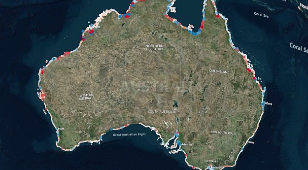
Geoscience Australia’s coastlines tool combines satellite imagery and tidal models to give 10m...2021-04-15
The 2021 Advancing Earth Observation Forum will be held online in August, followed...2021-04-13
Computers developed by Australian firm Spiral Blue will be tested aboard Polish STORK...2021-04-12
Drones, detection dogs, poo spotting: the $2 million race to survey our koalas...2020-12-02
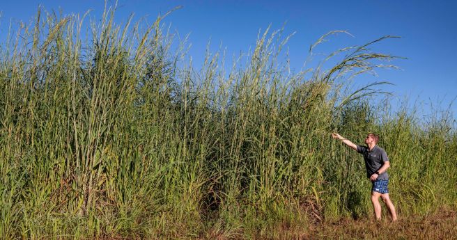
Researchers have developed a model that can identify Gamba grass with up to...2020-11-25
Newsletter
Sign up now to stay up to date about all the news from Spatial Source. You will get a newsletter every week with the latest news.
© 2026 Spatial Source. All Rights Reserved.
Powered by WordPress. Designed by


