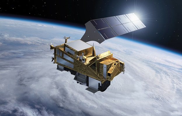
The Sentinel-5 satellite is an asset of the European Copernicus program. Image courtesy of ESA/P. Carril.
The international Copernicus Masters 2021 competition has been launched, with a total of more than $1.3 million on offer for solutions that benefit the world.
Now in its tenth year, the annual Copernicus Masters competition — organised by ESA, Germany’s AZO Anwendungszentrum GmbH and partners — will award prizes for “solutions, developments and ideas for business and society that use satellite data from the Copernicus program”.
“The time is ripe for the latest generation of start-ups and young scientists to take this opportunity to the next level and show us where Earth observation innovation can lead in terms of the impact it can make, and its market potential,” said ESA’s Acting Director of Earth Observation Programmes, Toni Tolker-Nielsen.
Participants can submit ideas for the use of Earth observation data across 10 different fields including AI, machine learning, cloud computing, data analytics, smart farming and maritime.
Winners will be given access to an international group of Earth observation organisations, satellite data quotas and business support worth more than $1.3 million (€835,000). The overall winner will receive an additional cash prize of $15,500 (€10,000).
The deadline for submissions is July 19. Full details can be found on the competition website.
Stay up to date by getting stories like this delivered to your inbox.
Sign up to receive our free weekly Spatial Source newsletter.