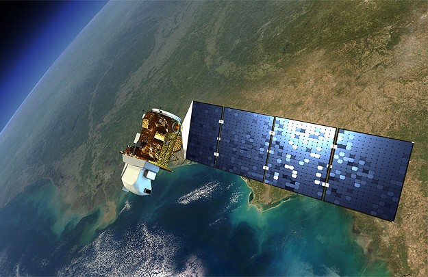
Landsat 8 image courtesy NASA.
Earth Observation Australia (EOA) has announced changes to the format of its inaugural Advancing Earth Observation Forum in the light of ongoing COVID-based disruptions.
The inaugural Advancing Earth Observation (AOE) Forum will now be a one-day, fully online event to be held on 25 August, 2021.
According to EOA, the event will be “focused on high-value sessions that will achieve our initial goals of launching the AEO series” and “will act as the introduction to the 2021-2022 AEO Forum series”.
It will be followed by the Building AEO Community Activities, which will take the form of a series of bi-monthly seminars to be held from September 2021 to June 2022.
Each of the seminars will be a one- to two-hour webinar based on a single community-building activity.
The webinars will lead into the main event next year, the four-day Advancing Earth Observation Forum, which will be held in August 2022 at the Brisbane Convention and Exhibition Centre.
EOA says the primary goal of the 2022 Forum will be “achieving a face-to-face community-driven and community-building event”.
In making the changes, EOA says it has taken into account ongoing and likely future COVID-associated requirements, the experience of running online and hybrid events in 2020 and 2021 and member preferences for face-to-face conferences.
Stay up to date by getting stories like this delivered to your inbox.
Sign up to receive our free weekly Spatial Source newsletter.


