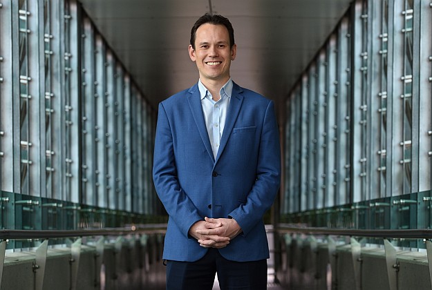
Professor Michael Milford, acting director of the Queensland University of Technology Centre for Robotics. Courtesy QUT.
Current mapping solutions are not adequate to ensure the success of autonomously navigated vehicles, opening up an opportunity for Australia to take the lead in HD mapping.
That’s according to Professor Michael Milford, acting director of the Queensland University of Technology (QUT) Centre for Robotics.
Professor Milford is investigating mapping solutions used by autonomous cars and how artificial intelligence could help those cars better handle Australian roads.
“Map updating is a major challenge to autonomous vehicle adoption everywhere including Australia, but it’s not yet a mature field globally so there’s opportunity for us to catch up quickly,” Professor Milford said.
“Current out-of-the-box European mapping solutions don’t recognise unique Australian signs or infrastructure and require customisation.”
Professor Milford said that while pervasive use of autonomous vehicles is not yet here, now is the time to ensure the overall infrastructure is put in place, including regulation.
“We need to plan and design technology that is fit for purpose from the very beginning, not shoehorn it in at the very end when we realise the tech doesn’t do what it’s meant to do.”
Professor Milford said the ideal way forward would be for map creators, plus those who provide location services, as well as governments, to work together to ensure privacy concerns are met and infrastructure updates are incorporated in a timely manner.
“Current maps do not have all the information necessary to be full HD maps, or links to information about infrastructure changes,” he said.
“Unless a car knows explicitly about environmental changes like road works, for example, positioning systems will find it hard to work well.
“Government notifications around these events is potentially going to be very important. It must also have meaningful involvement or oversight because of the significant data and privacy implications of these maps.”
Professor Milford added that positioning technology offered by vehicle companies still has room for improvement.
“Current positioning systems work well most of the time, but there are failure points like heavy rain and tunnels where the technology is arguably not yet reliable enough,” Professor Milford said.
“There’d be nothing worse than a car thinking it’s in one location, but actually being in another and erroneously referencing the wrong section of the HD map as a result of that positioning error.”
QUT is investigating models for government-industry collaboration to ensure the best outcome for future of HD maps.
“If we started a staged approach toward this collaborative model now, within two years we would have a working prototype for how information from private map providers, the government, and possibly from vehicles on the road, could be shared between all of those key stakeholders to ensure maps are as accurate and up to date as possible,” Professor Milford said.
Stay up to date by getting stories like this delivered to your inbox.
Sign up to receive our free weekly Spatial Source newsletter.


