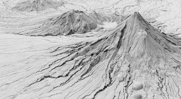
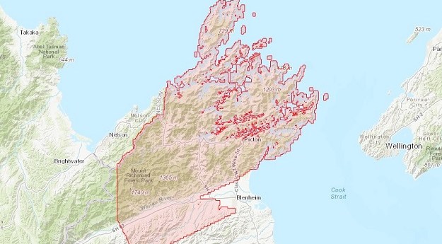
A ground-breaking aerial LiDAR survey has produced a wealth of valuable land-surface and...
LINZ
-
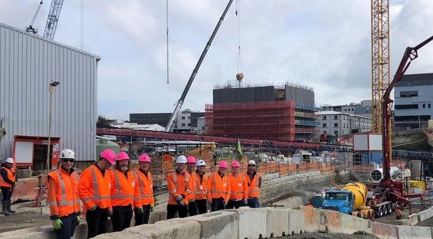
The 3.45km twin-tunnel underground rail link will run up to 42 metres below...
2022-11-30
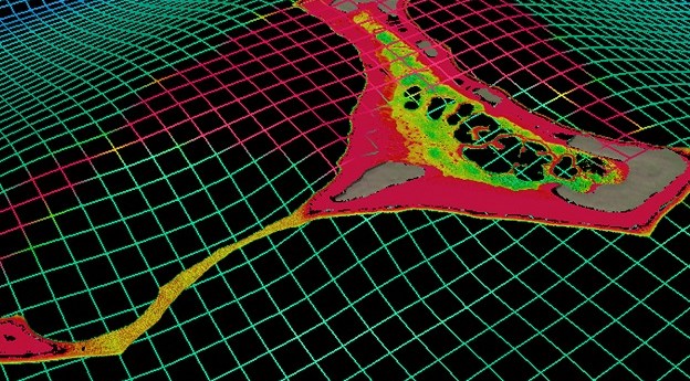
Scientists from NIWA and LINZ have used satellites to chart the Cook Islands’...2022-03-03
3D seafloor data will be captured within 5 km of the shore and...2021-11-01
ADVERTISEMENTThe Cadastral Survey Rules 2021 system will go live later this year, following...2021-06-29
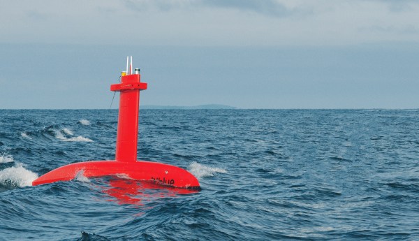
iXblue has announced the award of two significant bathymetric survey contracts in Australia...2020-09-29
Land Information New Zealand’s free new base maps offer resolution accurate to 5cm...2020-08-18
Partners sought to develop 3D Cadastral Survey Model and Exchange program.2020-07-29
New Zealand dominated this year’s Asia Pacific spatial and surveying awards.2017-04-06
Australia and New Zealand’s quest for next-gen positioning with SBAS.2017-04-03
NZ government contributes a further AU$2m to join Geoscience Australia’s push for precise...2017-02-22
Land Information New Zealand identifies 40 geospatial R&D topics.2016-01-26
GeoNext 2015’s exciting Melbourne-based program features speakers from What3Words and LINZ.2014-10-28
New Zealand’s most current publicly owned aerial imagery is now available under an...2014-04-29
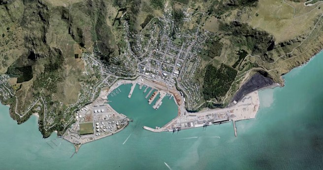
3D models and blueprints of Christchurch have been released under an ‘open’ license.2014-04-01
LINZ has released 85% of New Zealand’s most current, publicly held aerial imagery...2013-07-09
Land Information New Zealand (LINZ) is considering a ‘freemium’ business model – where...2013-03-19
Kevin Sweeney recently stepped down from his post as Geospatial Custodian and Land...2013-03-05
Newsletter
Sign up now to stay up to date about all the news from Spatial Source. You will get a newsletter every week with the latest news.
© 2026 Spatial Source. All Rights Reserved.
Powered by WordPress. Designed by