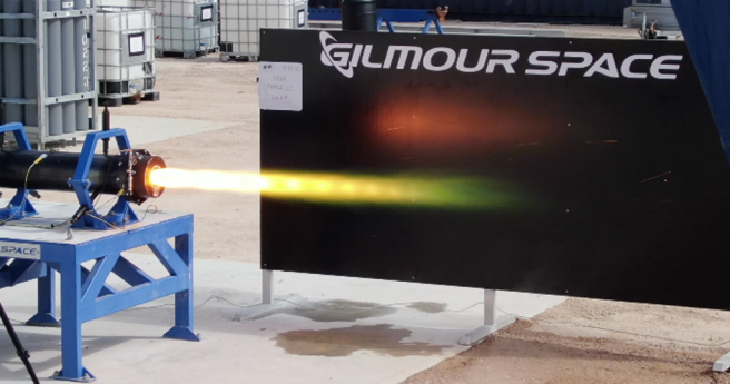
45-second hybrid rocket engine test breaks an Australian record.
Earth observation
-
Microsoft AI platforms will power a raft of new CSIRO research projects.
2020-06-22
Rocket Labs has acquired satellite hardware manufacturer Sinclair Interplanetary.2020-05-13
GEO Week 2019’s Industry Track is packed with thought leadership on the new...2019-10-30
ADVERTISEMENTThe Sydney-based satellite imagery startup has launched an open beta program for its...2019-08-21
The six craft of the next-generation atmospheric observation constellation have now deployed.2019-06-26
Aboriginal-owned not-for-profit to build and own ground station for LEO satellites.2019-06-12
Kleos’s constellation will utilise Kongsberg’s KSAT network.2019-05-15
Maxar’s $US 183 million claim for the loss of WorldView-4 has been accepted...2019-05-06
Strategy aims to help Australian businesses harness satellite data, target investment in DEA...2019-03-21
Planet Federal will be aimed squarely at US government business.2019-01-09
Significant updates to DEA’s NationalMap make a suite of new data products public.2019-01-09
A detailed interview with Anthony Murfett, deputy head of the Australian Space Agency.2018-12-19
CSIROSat-1 will support Australian Earth observation and pave the way for advanced R&D...2018-12-05
NASA and USGS have released a request for information on the future of...2018-11-14
Geoscience Australia and FrontierSI launch a national workshop series to shape the future...2018-10-10
CSIRO will use ten percent of tasking and acquisition time on NovaSAR-1 as...2018-09-17
Researchers meet to improve satellite-derived sea temperature data products.2018-08-29
Newsletter
Sign up now to stay up to date about all the news from Spatial Source. You will get a newsletter every week with the latest news.
© 2026 Spatial Source. All Rights Reserved.
Powered by WordPress. Designed by


