The paper presents three UDT use cases — climate change adaptation, urban transformation...
digital twins
-
The collaboration will enable the use of Google 2D, 3D geospatial data within...
2024-10-16
Don’t miss next month’s WA Digital Twin Symposium and the South Australia Cadastral...2024-02-19
Keith Bentley will step down as Chief Technology Officer in April, with Julien...2023-03-17
ADVERTISEMENTThe in-person and online meeting will explore the theme of ‘mapping the future...2021-08-04
Project to be the first UK migration to Esri’s new ArcGIS Utility Network.2021-02-11
Cash injection to drive the development of ‘smart places’ with local councils.2021-01-19
Covid-19 will accelerate expansion of digital twin and smart city technologies, according to...2021-01-14
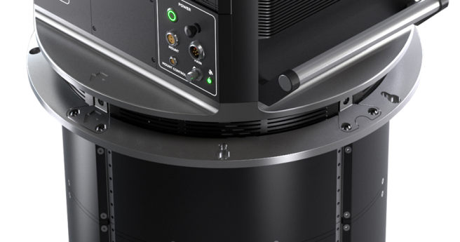
Phase One Industrial brings a new large-format nadir and oblique aerial camera system...2021-01-13
Bentley has become a founding member of the digital twin consortium, and will...2020-12-16
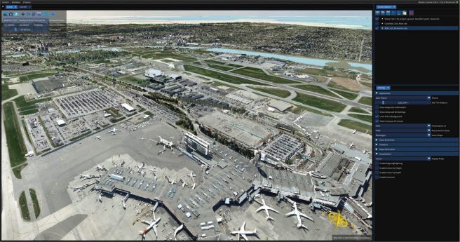
Faro has launched an enterprise edition of its Webshare 3D reality data platform.2020-11-24
New partnership will see Microsoft’s Azure cloud platform at the core of Bentley’s...2020-10-21
Digital twins are touted as the business transformation tool of the next decade....2020-10-14
A study has found that issues of access, interoperability and literacy with spatial...2020-10-06
Two Australian projects have made the shortlist for Bentley’s YII 2020 awards.2020-10-06
As part of our look at digital twins in the latest issue of...2020-08-25
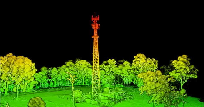
New ‘freemium’ service generates 3D models from massive point clouds with unlimited storage,...2020-07-13
Emesent has announced its new Hovermap SLAM module, developed to integrate with DJI’s...2020-07-06
The Locate Connect mini conference takes place from Wednesday July 8 to Friday...2020-07-01
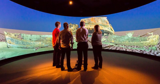
Curtin research project to render historic Australian shipwrecks like never before.2020-06-24
Newsletter
Sign up now to stay up to date about all the news from Spatial Source. You will get a newsletter every week with the latest news.
© 2025 Spatial Source. All Rights Reserved.
Powered by WordPress. Designed by


