In our annual Leaders Forum, we ask experts to look ahead into 2023....
data
-
In our annual Leaders Forum, we ask experts to look ahead into 2023....
2023-01-23
In our annual Leaders Forum, we ask experts to look ahead into 2023....2022-12-21
In our annual Leaders Forum, we ask experts to look ahead into 2023....2022-12-19
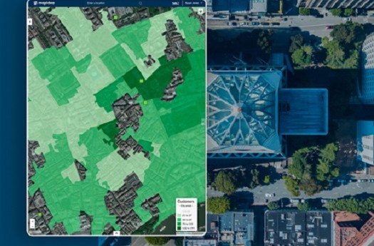
ADVERTISEMENTAt Mapidea, we want organisations to use geography as an instrument for making...2021-09-02
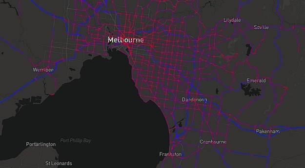
A prototype National Freight Data Hub website uses truck telematics to visualise road...2021-06-09
Grants of $25,000 will be awarded to up to six applicants under WA’s...2021-06-03
The Australian Space Data Analysis Facility aims to stimulate innovation in the use...2021-05-26
Position’s final issue for 2020 reflects on a chaotic year: the challenges, triumphs...2020-12-02
The winners of the Maxar Spatial Challenge are due to be announced on...2020-12-01
Earth Observation Australia and the Surveying & Spatial Sciences Institute have signed an...2020-11-18
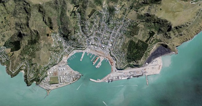
Land Information New Zealand’s free new base maps offer resolution accurate to 5cm...2020-08-18
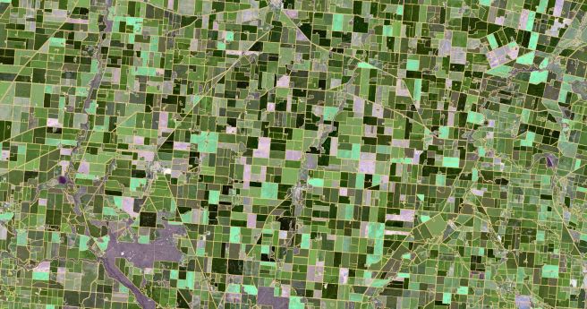
CSIRO’s ePaddocks contains paddock boundary information in an AI-derived dataset.2020-08-11
A new report aims to promote the use and development of gridded population...2020-05-26
MapData Services’ Gary Costa discusses the dataset informing the response to #Covid-19.2020-05-12
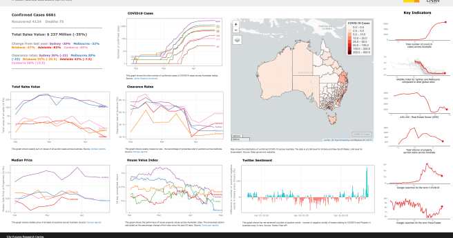
Dashboard charts hotspots and market metrics.2020-04-28
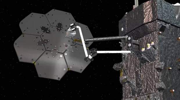
PSMA has relaunched as Geoscape, with a new sales access model facilitating direct...2019-09-24
Share your passion with likeminded spatial denizens: GeoRabble returns to Sydney this August.2019-08-07
Maxar’s $US 183 million claim for the loss of WorldView-4 has been accepted...2019-05-06
EOIs are now open for demonstrator projects harnessing Earth observation data under the...2019-04-03
Newsletter
Sign up now to stay up to date about all the news from Spatial Source. You will get a newsletter every week with the latest news.
© 2025 Spatial Source. All Rights Reserved.
Powered by WordPress. Designed by


