This week: GIS DAY, mapping contest, job and research position offerings, industry webinars...
Antarctica
-
The work included calibrating tide gauges, preparing a SouthPAN site and surveying huts...
2024-12-11
The new viewer displays all Antarctic Digital Database datasets plus other data via...2024-06-05
Bathymetry conducted from on board the RSV Nuyina has enabled the updating of...2024-05-21
ADVERTISEMENTA new agreement will provide continued public access to historical and new digital...2023-07-31
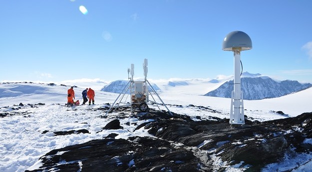
GPS sensors placed on rocky outcrops are helping assess the icy continent’s contribution...2022-04-15
NASA’s Operation Icebridge will be the largest survey of Earth’s changing sea ice...2019-10-30
Australian and New Zealand scientists drill through Ross Ice Shelf in single season...2018-01-31
SkyNet drones; Antarctic sea ice in 3D; Roman gold mines; Parrot’s new drone;...2014-11-25
Free Antarctica map; GIS code; NASA crowdsourcing; Ferguson; Gaza StreetView; WV3; phallus maps.2014-08-19
Why is Oz so hot?; rock locations; Mapathon 2014; navigating jackets; QGIS info;...2014-03-25
Three key speakers at the Locate14 conference have been announced.2014-01-28
Coldest place on Earth; DIY StreetView; 2013 hype cycle; worldwide writing; Odyssey mapped...2013-12-17
A 720 square kilometre area of ice shelf has broken away from the...2013-07-16
Geoscience Australia has released a detailed map that describes some of the rare...2013-03-05
Newsletter
Sign up now to stay up to date about all the news from Spatial Source. You will get a newsletter every week with the latest news.
© 2026 Spatial Source. All Rights Reserved.
Powered by WordPress. Designed by


