Inertial Labs has released its PCMasterPro 1.16 software for 3D terrain and feature modelling, which it claims has up to 200% faster processing speed.
The software is designed to help engineers, cartographers, surveyors and VFX designers to create realistic digital twin models based on geospatial and 3D data.
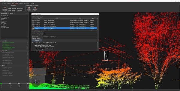
PCMasterPro 1.16 is designed to support the Remote Sensing Payload Instrument (RESEPI), a combined dual-antenna, GNSS-aided, inertial navigation system, datalogger, LiDAR, camera and communications system that enables the real-time and post-processed generation of point cloud solutions.
The software facilitates autonomous data processing and management using an updated batch processor equipped with profiles, templates and intuitive workflows. New command-line utilities and a user-friendly interface enable users to customise workflows with desired inputs.
It also features a wider range of export format types, including PCD, PLY, E57, LAS and LAZ in colourised and non-colourised workflows.