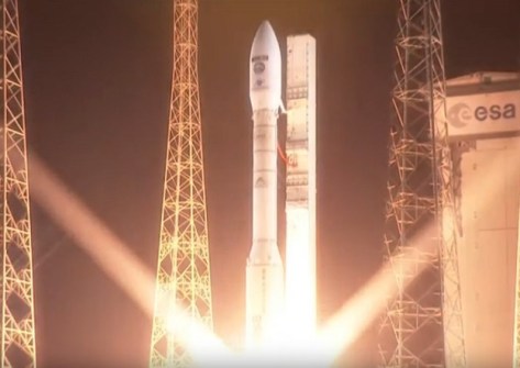
Sentinel-2C, the third Copernicus program Sentinel-2 satellite, has been launched into orbit aboard the final Vega rocket from Europe’s Spaceport in French Guiana.
The Earth observation satellite lifted off at 11:50am AEST on 5 September and separated from the launch vehicle about an hour later.
“I am overjoyed with the successful launch of Sentinel-2C, a milestone that would not have been possible without the dedication and hard work of our incredible team,” said Constantin Mavrocordatos, Sentinel-2 Project Manager at the European Space Agency.
“Together, we’ve taken another significant step forward in advancing Earth observation and supporting critical applications that benefit our planet.”
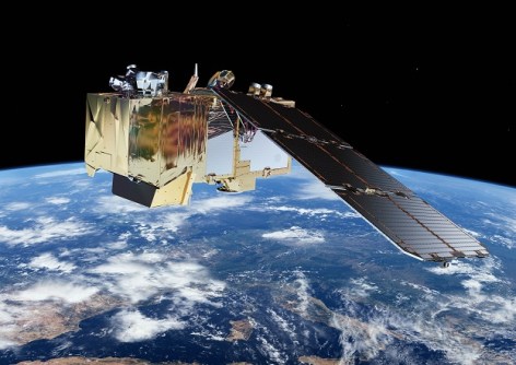
The multi-satellite Copernicus Sentinel-2 mission provides high-resolution (from 10 m to 60 m) optical imagery. The constellation comprises two identical satellites flying in the same orbit (at an altitude of 786 kilometres) but 180° apart, covering all of Earth’s land and coastal waters every five days.
Currently, the constellation is comprised of Sentinel-2A and Sentinel-2B. Sentinel-2C will soon replace -2A, following a brief period of tandem observations. The still-to-be-launched Sentinel-2D will eventually replace -2B.
The multispectral imager aboard the Sentinel-2 satellites generates images in 13 spectral bands at visible, near-infrared and shortwave-infrared wavelengths with resolutions of 10 m, 20 m and 60 m, and a swath width of 290 kilometres.