

Trimble has introduced the Applanix POS LVX+ and POS AVX RTX for land-based and aerial mobile mapping.
AI model maps carbon emissions from buildings
By jnally on 3 November, 2025The open-source model has mapped emissions from buildings in cities such as Melbourne, using open public data.
Save the date for LOCATE, November 2026!
By jnally on 31 October, 2025The news that the LOCATE conference will go ahead next year has been greeted with relief across the industry.
Major step forward for WA’s spatial digital twin
By jnally on 31 October, 2025The spatial digital twin project will pull together data sources, cloud services, analytics and enterprise elements.
Visionary recognised for climate, disaster solutions
By jnally on 30 October, 2025Roxane Bandini-Maeder has worked to develop geospatial solutions to combat climate and disaster risks.
Making mapping easier for sustainable development
By jnally on 30 October, 2025The ICA is helping countries achieve their UN SDG goals by making the map-making process easier.
GIS maps for NSW Aboriginal Land Councils
By jnally on 29 October, 2025Local Aboriginal Land Councils in NSW now have access to updated GIS tools within the Corroborate portal.
Latest Geospatial News
View all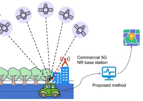
New research aims to overcome the problems of satellite-based navigation in urban environments.
 2026-01-09
ADVERTISEMENT

The Geostationary Ring Natural Colour RGB global imagery layer is updated every three hours.
2026-01-08 
Validation checks and audits of surveys during 2025 have shown little or no improvement over 2024.
2026-01-08 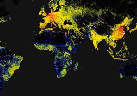
Researchers have produced what they say is the first high-resolution (3 x 3 m) 3D map of all buildings worldwide.
2026-01-08 
The Leica iCON Trades field solution makes taking the jump into the world of digital construction easy and efficient.
2026-01-08 
A new paper has favourably assessed AUSPOS 3.0’s performance compared to the previous version 2.4.
2026-01-07
ADVERTISEMENT

Cameron Mills takes over from Craig Turner to head the national surveying industry body.
2026-01-07 
- Sponsored Content
Aidedo was founded based on the practical experience of CEO Aiden Tong while studying and working with many Civil Engineering and Land Surveying firms in developed countries.
2026-06-02
The Women Surveyors Summit 2025 in Las Vegas combined connection, courage and growth, writes Peta Cox.
2026-01-06 Cool Tools
View All-
 Is the Essential Eight still worth doing for your ArcGIS environment?
-
 CHC Navigation at Locate26: Connected Geospatial Solutions Across Land, Air and Water
-
 Responsible AI for better decisions: Why geospatial context matters
-
 Stop parking it: meeting the Essential Eight with ArcGIS may be more achievable than you think
Events
View All-
Nov 6
GIS in Local Government Day 2026
 Amora Hotel Adelaide, 233 Victoria Square, Adelaide
-
Nov 9
2026 Advancing Earth Observation Forum
Hobart, Tasmania -
Nov 10
SouthPAN Industry Day
Online -
Nov 13
South West and Great Southern Surveyors Conference
Mantra Bunbury Lighthouse, Bunbury, WA -
Nov 24
Locate26 Conference / 10th Digital Earth Summit
Melbourne Convention & Exhibition Centre

