Reliable PNT services are vital for Australia’s national security, and the need for risk mitigation is growing.

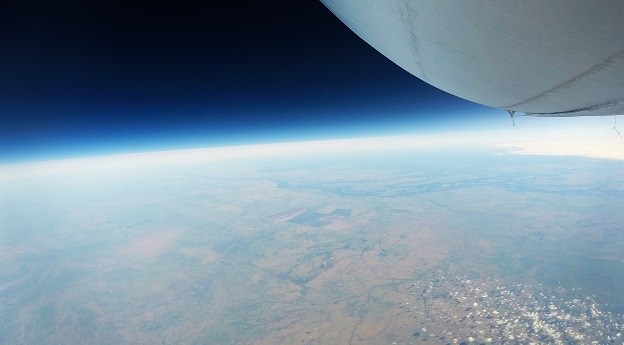
Stratoship tests persistent Earth observation platform
The company aims to reduce Australia’s dependence on foreign satellites for observation capabilities.
Read moreLatest Geospatial News
View all
ADVERTISEMENT
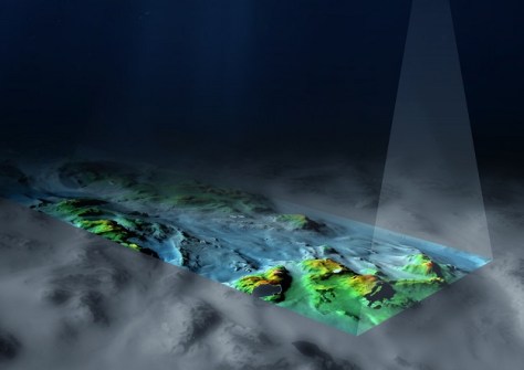
Bathymetry conducted from on board the RSV Nuyina has enabled the updating of 20-year-old seafloor maps.
 2024-05-21
The flights tested quantum and atomic clock technology that one day could be used to reduce reliance on GNSS.
 2024-05-21
The deadline for nominations is 12 July, so there’s no time to delay in proposing an individual or project.
 2024-05-21
The hugely successful MAGNET Office CAD workflow solution will soon be upgraded to version 9.
 2024-05-21
The ICA and OGC are collaborating to improve cartographic design and develop interoperable mapping standards.
 2024-05-20
ADVERTISEMENT
Datacom, Telstra and a 10-member consortium led by Veris have become DTV partners or service providers.
 2024-05-15
The outstanding contributions of individuals and teams were recognised at a gala ceremony in Sydney.
 2024-05-15
 Events
View All-
Jul 15
18th Australian Space Forum
 Adelaide Convention Centre
 -
Aug 3
International Geoscience and Remote Sensing Symposium
 Brisbane Convention & Exhibition Centre
 -
Aug 26
GIScience 2025
 Christchurch, New Zealand
 -
Sep 10
Survey and Spatial New Zealand Annual Conference
 Te Pae, Christchurch
 -
Sep 17
AIMS National Conference
 Novotel Sunshine Coast Resort, Queensland


