




This simple inertial system is designed to be used in conjunction with other positioning systems.
 2015-02-03

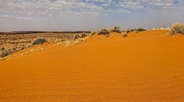
The new Simpson Desert Indigenous Protected Area adds more than 4.7m hectares to the National Reserve System.
Read more
2015-02-03
2015-02-03
2015-01-27  2015-01-27
2015-01-27
2015-01-27
2015-01-27
2015-01-27
2015-01-27
2015-01-27  2026-06-02
2015-01-26
2026-06-02
2015-01-26  Online webinar Adelaide Convention Centre Parliament House, 6 Macquarie Street, Sydney Victoria University of Wellington, New Zealand Las Vegas
© 2026 Spatial Source. All Rights Reserved.
Powered by WordPress. Designed by 


