

Happy #WorldGISDay!
#WorldGISDay: Nearmap captures transformative transport projects
By Daniel Bishton on 14 November, 2018Have your say on the future of LandSat
By Daniel Bishton on 14 November, 2018NASA and USGS have released a request for information on the future of the Landsat program.
Dr. Zaffar Sadiq Mohamed-Ghouse joins Spatial Vision
By Spatial Source on 13 November, 2018Dr. Zaffar Sadiq Mohamed-Ghouse is the firm’s new executive director of strategic consulting.
Australia mapped in unprecedented detail
By Daniel Bishton on 13 November, 2018PSMA Australia maps every building, revealing previously unknown statistics.
New tsunami hazard data released for Tsunami Awareness Day
By Daniel Bishton on 7 November, 2018The 2018 PTHA includes data for over half a million earthquake-tsunami scenarios, with a decade’s worth of new data.
Leica offers major upgrade to bathymetric LiDAR tools
By Daniel Bishton on 7 November, 2018Denser point clouds by a factor of four for selected Chiroptera and HawkEye scanners.
Latest Geospatial News
View all
RelmaTech has validated the viability of UAS remote identification and tracking over satellite internet.
 2020-02-11
ADVERTISEMENT

While tiny houses are about more than their cost, they present some planning challenges.
2020-02-09 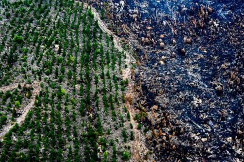
The initiative is billed as a way the surveying and spatial science profession can provide valuable input and assistance.
2020-02-06 
South East Asia's first geospatial services and location intelligence event takes place 18-19 March at Suntec Singapore.
2020-02-04 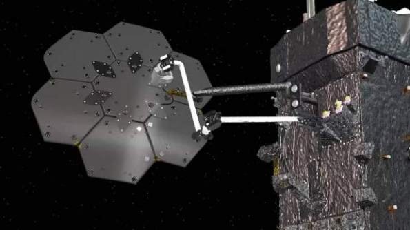
NASA has contracted Maxar to robotically manufacture an antenna and spacecraft beam in orbit.
2020-02-04 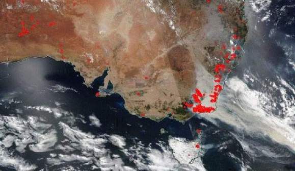
Locate20 to showcase new tech that play a role in better integrated mapping for bushfire fight.
2020-02-04
ADVERTISEMENT
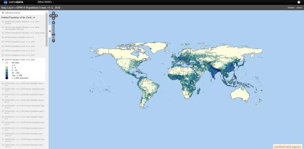
The Gridded Population of the World collection's fourth version (GPWv4) is now available.
2020-02-04 
- Sponsored Content
Aidedo was founded based on the practical experience of CEO Aiden Tong while studying and working with many Civil Engineering and Land Surveying firms in developed countries.
2026-06-02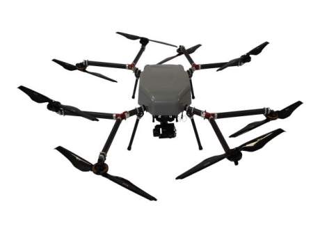
Skyfront, Silvus Technologies have developed long-range BVLOS unmanned aerial vehicles.
2020-02-04 



Events
View All-
Nov 9
2026 Advancing Earth Observation Forum
 Hobart, Tasmania
-
Nov 13
South West and Great Southern Surveyors Conference
Mantra Bunbury Lighthouse, Bunbury, WA -
Nov 24
Locate26 Conference / 10th Digital Earth Summit
Melbourne Convention & Exhibition Centre -
Nov 30
-
Feb 5
2026 National EISSI Awards
Melbourne Convention & Exhibition Centre

