

Europe’s GNSS network begins a fifth day offline after ‘technical incident’ at its Precise Timing Facility.
Star death boosts measurement of universe’s expansion
By Spatial Source on 9 July, 2019A Swinburne research team has refined the estimation of the Hubble Constant.
Latest Geospatial News
View all
The Australian Space Agency seeks input on local missions as to design funding opportunities and support programs.
 2020-08-17
ADVERTISEMENT

Spatial Source’s fortnightly round-up of the best in cartography, spatial analysis and creative applications of GIS.
2020-08-17 
Register for Locate21 in Brisbane and receive free access to a comprehensive digital content program.
2020-08-12 
Iconic Parkes instrument is first functioning science instrument to be listed.
2020-08-12 
RobertsDay calls for a decentralised growth model following pandemic-driven changes to work practices.
2020-08-12 
NavigatAR, a dynamic navigation tool aiming to safely bring back the physical interaction in a Covid-affected world.
2020-08-12
ADVERTISEMENT

Maptek's comprehensive suite of geotechnical and mine design tools gets a massive 2020 overhaul.
2020-08-11 
- Sponsored Content
Aidedo was founded based on the practical experience of CEO Aiden Tong while studying and working with many Civil Engineering and Land Surveying firms in developed countries.
2026-06-02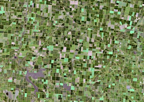
CSIRO's ePaddocks contains paddock boundary information in an AI-derived dataset.
2020-08-11 



Events
View All-
Nov 9
2026 Advancing Earth Observation Forum
 Hobart, Tasmania
-
Nov 13
South West and Great Southern Surveyors Conference
Mantra Bunbury Lighthouse, Bunbury, WA -
Nov 24
Locate26 Conference / 10th Digital Earth Summit
Melbourne Convention & Exhibition Centre -
Nov 30
-
Feb 5
2026 National EISSI Awards
Melbourne Convention & Exhibition Centre

