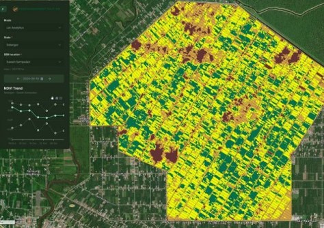
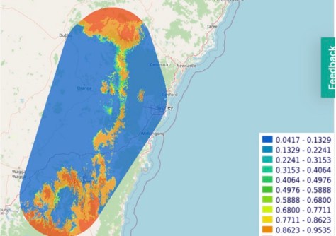
The reflectometry data will provide soil moisture insights for companies, governments and farmers.
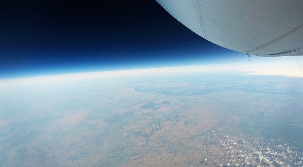
Stratoship tests persistent Earth observation platform
The company aims to reduce Australia’s dependence on foreign satellites for observation capabilities.
Read moreLatest Geospatial News
View all
ADVERTISEMENT
Read our expert’s predictions for 2025, plus data visualisation, plans for resilient PNT and much more.
 2024-12-10
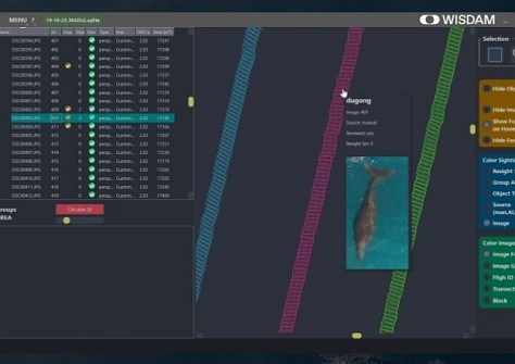
The WISDAM app uses aerial survey data to map animal detections to real-world coordinates.
 2024-12-09
The head of the world's largest geospatial organisation gives her insights into the opportunities ahead in 2025.
 2024-12-09
The paper presents three UDT use cases — climate change adaptation, urban transformation and urban air mobility.
 2024-12-05
Esper Satellites awarded $1m from the Paspalis Innovation Investment Fund after winning Croc Pitch 2024.
 2024-12-04
ADVERTISEMENT
Check out our regular compilation of geospatial news snippets from across Australia and around the world.
 2024-12-04
Volunteers are needed for the 9th FIG Young Surveyors Conference, to be held in Brisbane in April 2025.
 2024-12-03
 Events
View All-
Sep 17
AIMS National Conference
 Novotel Sunshine Coast Resort, Queensland
 -
Sep 29
76th International Astronautical Congress
 Sydney, Australia
 -
Oct 7
INTERGEO 2025
 Frankfurt, Germany
 -
Oct 15
9th International Conference on Engineering Surveying
 Brno, Czech Republic
 -
Nov 17
Free and Open Source Software for Geospatial (FOSS4G) 2025
 Auckland, New Zealand


