In our Leaders Forum, we asked the experts to look ahead into 2022. Today we talk imaging with Tom Celinski.
Geoscience Australia to give online update briefing
The Showcase 2026 event will cover the Digital Atlas of Australia, seabed mapping, critical minerals and more.
Read moreLatest Geospatial News
View all
ADVERTISEMENT
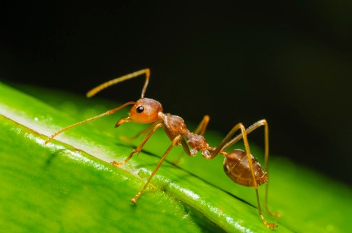
Geospatial information capture, storage and analysis is vital in the ongoing battle against invasive red fire ants.
The Australian Height Datum celebrates its half-century in 2021. We take a look back at how it all came about.
Australia’s National Positioning Infrastructure Capability is a game-changer for a raft of industries.
Satellite imaging and communications promise to vastly improve agricultural practices, adding billions to the economy.
Making a positive contribution to society and the environment is what drives Inga Playle’s work philosophy.
ADVERTISEMENT
The use of AI in the geospatial sector is already paying dividends, but there’s still a long way to go.
Aidedo was founded based on the practical experience of CEO Aiden Tong while studying and working with many Civil Engineering and Land Surveying firms in developed countries.
An early interest in maps and geography has led to an award-winning career as a GIS professional and drone pilot.
Events
View All-
Nov 24
Locate26 Conference / 10th Digital Earth Summit
Melbourne Convention & Exhibition Centre -
Nov 30
-
Feb 5
2026 National EISSI Awards
The Marion, Barrine Drive Regatta Point, Commonwealth Park, Canberra -
Mar 15
Association of Public Authority Surveyors, NSW, 2027 Conference
Crowne Plaza, Terrigal